Nordingrå 112:1, röse i Ångermanland
Location: Kramfors Municipality
GPS coordinates: 62.91619,18.38443
Latest update: October 26, 2025 03:39
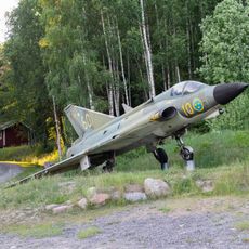
Mannaminne
4.1 km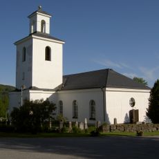
Nordingrå Church
5 km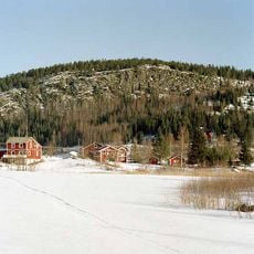
Häggvik
4.8 km
Barsta kapell
5.9 km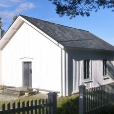
Bönhamns kapell
5.3 km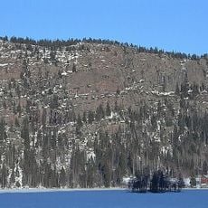
Omneberget
5.1 km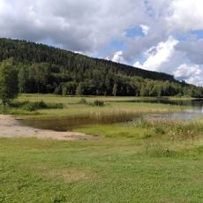
Omnesjön
4.3 km
Nordingrå gamla kyrka
5 km
Nordingrå 114:3
1.5 km
Nordingrå 41:1
4.3 km
Nordingrå 114:4
1.5 km
Nordingrå 42:2
4 km
Nordingrå 42:1
4 km
Nordingrå 114:1
1.6 km
Nordingrå 114:2
1.6 km
Nordingrå 166:1
5.6 km
Nordingrå 113:3
1.1 km
Nordingrå 45:2
2.8 km
Nordingrå 47:1
133 m
Nordingrå 113:1
1.1 km
Nordingrå 43:1
5.6 km
Nordingrå 34:1
5.7 km
Nordingrå 45:1
2.8 km
Nordingrå 181:1
5.6 km
Nordingrå 44:1
5.6 km
Nordingrå 145:1
4.5 km
Själandsklinten
923 m
Piskarmalberget
4.9 kmReviews
Visited this place? Tap the stars to rate it and share your experience / photos with the community! Try now! You can cancel it anytime.
Discover hidden gems everywhere you go!
From secret cafés to breathtaking viewpoints, skip the crowded tourist spots and find places that match your style. Our app makes it easy with voice search, smart filtering, route optimization, and insider tips from travelers worldwide. Download now for the complete mobile experience.

A unique approach to discovering new places❞
— Le Figaro
All the places worth exploring❞
— France Info
A tailor-made excursion in just a few clicks❞
— 20 Minutes