
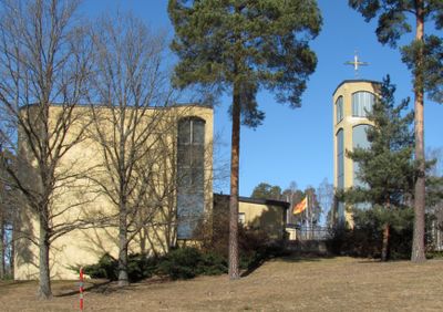
Sankt Lukas kyrka
Location: Järfälla Municipality
Inception: 1977
Architects: Jerk Alton
GPS coordinates: 59.45576,17.80344
Latest update: March 5, 2025 10:51
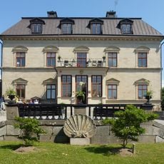
Görväln House
2.5 km
Viksjö
5 km
Lennartsnäs
3.5 km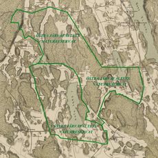
Järvafältet nature reserve
4.1 km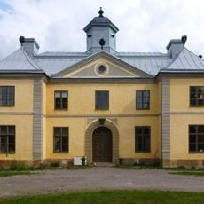
Säby gård
4.6 km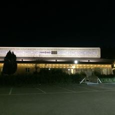
Imam Ali Mosque
4.9 km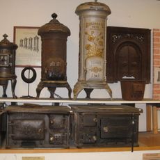
The Bolindermuseum
286 m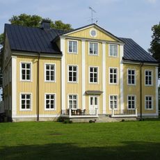
Öråkers gård
3.5 km
Görväln
4 km
Almare-Stäkets borg
1.6 km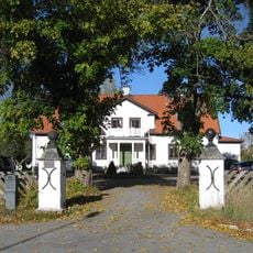
Viksjö gård
4.3 km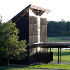
Pilgrimskapellet
3.2 km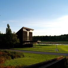
Görvälns griftegård
3.2 km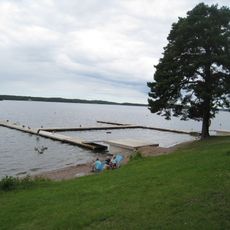
Görvälnsbadet
3.7 km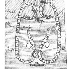
Uppland Runic Inscription 605
2.3 km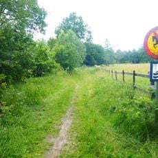
Molnsättra
2 km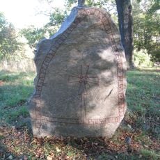
Uppland Runic Inscription 92
3.7 km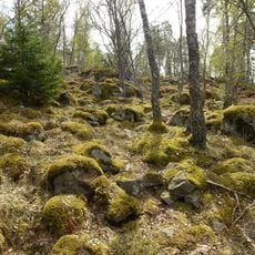
Stäketskogen Nature Reserve
3.4 km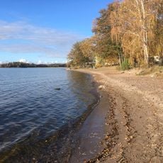
Kallhällsbadet
717 m
Folkets hus
283 m
Järfällabadet
4.2 km
Mary's Church
4.3 km
Östra Järvafältet nature reserve
4 km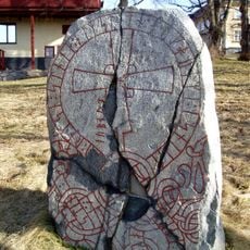
Upplands runinskrifter 91
3.7 km
Västra Järvafältet
4 km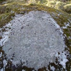
Uppland Runic Inscription 90
4.7 km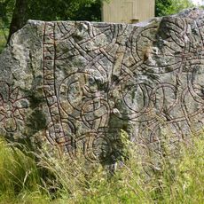
Uppland Runic Inscription 604
1.9 km
Kungsängens Hembygdsgård
4.5 kmReviews
Visited this place? Tap the stars to rate it and share your experience / photos with the community! Try now! You can cancel it anytime.
Discover hidden gems everywhere you go!
From secret cafés to breathtaking viewpoints, skip the crowded tourist spots and find places that match your style. Our app makes it easy with voice search, smart filtering, route optimization, and insider tips from travelers worldwide. Download now for the complete mobile experience.

A unique approach to discovering new places❞
— Le Figaro
All the places worth exploring❞
— France Info
A tailor-made excursion in just a few clicks❞
— 20 Minutes