
Sömlinghågna, Berggipfel in Schweden
Location: Sweden
Elevation above the sea: 1,000 m
GPS coordinates: 62.05000,13.21667
Latest update: March 16, 2025 21:24
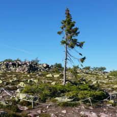
Old Tjikko
53.8 km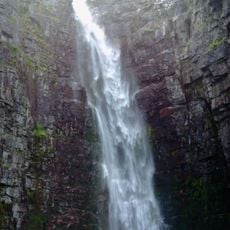
Njupeskär
53.8 km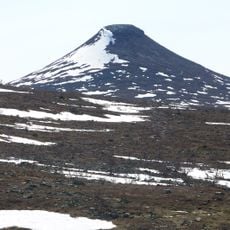
Städjan
22.9 km
Sonfjället National Park
31.9 km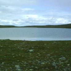
Storvätteshågna
40.7 km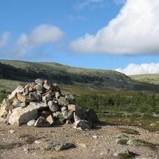
Städjan-Nipfjället
18.2 km
Svegssjön
47.5 km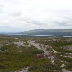
Töfsingdalen National Park
40.5 km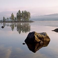
Gutulia National Park
54.9 km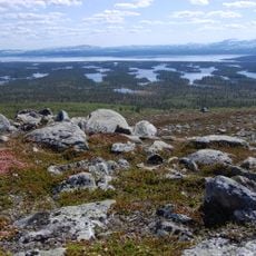
Rogen Nature Reserve
54.1 km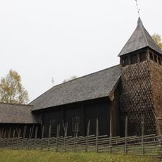
Särna gammelkyrka
39.7 km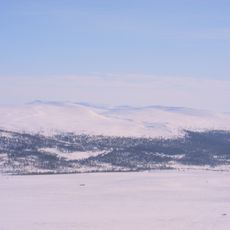
Långfjället
33.8 km
Tännäs Church
51.8 km
Veman
47.9 km
Långå skans
44.9 km
Särna Church
39.8 km
Hede kommun
43.3 km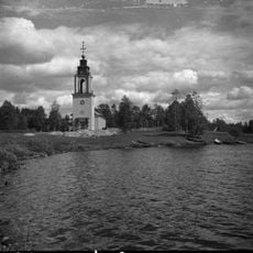
Idre Church
33.5 km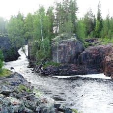
Hoedestupet
29.2 km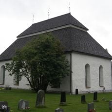
Hede church
43.8 km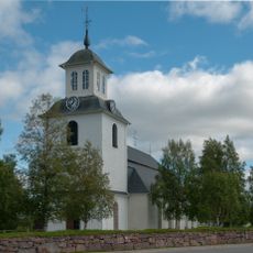
Lillhärdals kyrka
49.8 km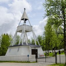
Högvålens kapell
27.4 km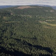
Duvberg
54.8 km
Nyvallen
33.6 km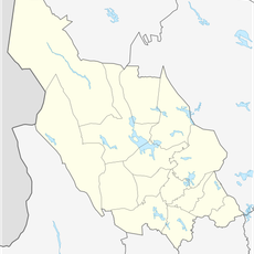
Vedungsfjällen
12.1 km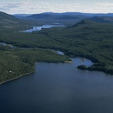
Vikarsjön
46.2 km
Södra Trollegrav
57.9 km
Norra Trollegrav
53.2 kmReviews
Visited this place? Tap the stars to rate it and share your experience / photos with the community! Try now! You can cancel it anytime.
Discover hidden gems everywhere you go!
From secret cafés to breathtaking viewpoints, skip the crowded tourist spots and find places that match your style. Our app makes it easy with voice search, smart filtering, route optimization, and insider tips from travelers worldwide. Download now for the complete mobile experience.

A unique approach to discovering new places❞
— Le Figaro
All the places worth exploring❞
— France Info
A tailor-made excursion in just a few clicks❞
— 20 Minutes