
En tall Lysings häradsallmänning, naturminne i Ödeshögs kommun
Location: Ödeshög Municipality
Inception: July 6, 1935
GPS coordinates: 58.11763,14.76983
Latest update: March 11, 2025 12:51

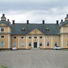
Gripenberg Castle
15.2 km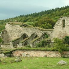
Ödeshög Municipality
8.9 km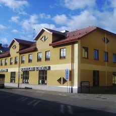
Boxholm Municipality
14.6 km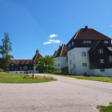
Romanäs sanatorium
15.9 km
Brahälla
14.2 km
Göberga
12.8 km
Tranås Church
15 km
Adelövs church
11.6 km
Boxholm II
15.4 km
Tranås Church
15 km
Tranås stadshus
15.5 km
Linderås Church
15.9 km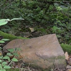
Girabäcken
16.3 km
Kråkeryd
13.5 km
Romanäs
16 km
Norra Vedbo tingslag
15.4 km
Smålands runinskrifter 128
12.8 km
Holavedskapellet
12 km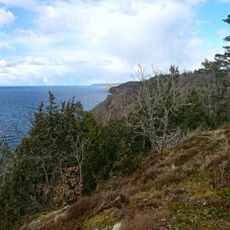
Klevenbranten
13.5 km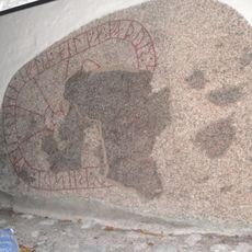
Östergötlands runinskrifter 144
14.3 km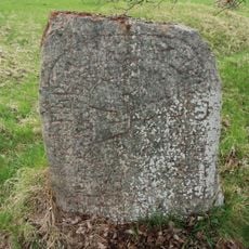
Östergötlands runinskrifter 133
15.4 km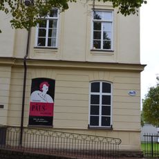
Tranås pälsmuseum
15.2 km
Adelövs marknadsbodar
13 km
Adelövs kyrkas orgel av Carl Elfström
11.6 km
Heda 107:1
15.4 km
Sionskapellet i Sommen
11.7 km
Säby kyrka
16.7 km
Eriksbergs museum i Tranås
15.2 kmReviews
Visited this place? Tap the stars to rate it and share your experience / photos with the community! Try now! You can cancel it anytime.
Discover hidden gems everywhere you go!
From secret cafés to breathtaking viewpoints, skip the crowded tourist spots and find places that match your style. Our app makes it easy with voice search, smart filtering, route optimization, and insider tips from travelers worldwide. Download now for the complete mobile experience.

A unique approach to discovering new places❞
— Le Figaro
All the places worth exploring❞
— France Info
A tailor-made excursion in just a few clicks❞
— 20 Minutes