
Flygsandfältet vid Dammsjön, nature reserve in Dalarna, Sweden
Location: Säter Municipality
Inception: May 19, 1982
GPS coordinates: 60.37574,15.64102
Latest update: June 7, 2025 09:55
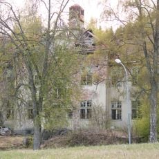
Fasta paviljongen, Säters mentalsjukhus
5.5 km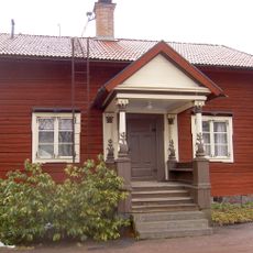
Säter Municipality
8.9 km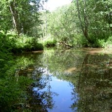
Frostbrunnsdalen
12.7 km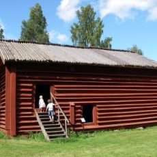
Rankhyttan
12 km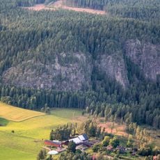
Bispbergs klack
9.9 km
Säterdalen
5.2 km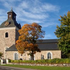
Stora Skedvi Church
9.6 km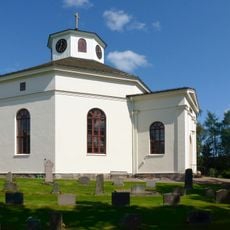
Silvberg Church
7.9 km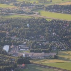
Mora
3.5 km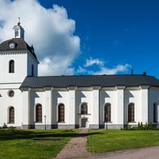
Säter Church
6.7 km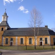
Gustafs kyrka
4.5 km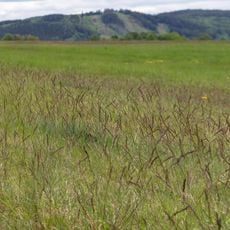
Rommehed
9.8 km
Vikmanshyttan Church
13.4 km
Långsjön
8.6 km
Holmsjöarna
8.9 km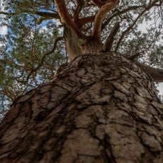
Smörjtallen i Sörbo
5.2 km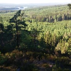
Tvärstupet
11.3 km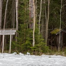
Risshytte hage
4.7 km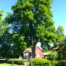
2004169 (W-id) Fornbyasken
13.4 km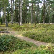
Silvberg 19:2
4.3 km
2004103 (W-id) Ek
12.7 km
Silvberg 19:1
4.3 km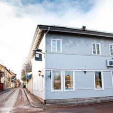
Säter Library
6.8 km
Kaplansgården
9.4 km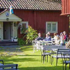
Åsgårdarna
7.2 km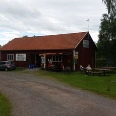
Torsångs motormuseum
10.5 km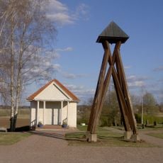
Gustafs gravkapell
3.4 km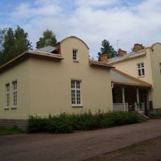
Mentalvårdsmuseet Säter
5.4 kmReviews
Visited this place? Tap the stars to rate it and share your experience / photos with the community! Try now! You can cancel it anytime.
Discover hidden gems everywhere you go!
From secret cafés to breathtaking viewpoints, skip the crowded tourist spots and find places that match your style. Our app makes it easy with voice search, smart filtering, route optimization, and insider tips from travelers worldwide. Download now for the complete mobile experience.

A unique approach to discovering new places❞
— Le Figaro
All the places worth exploring❞
— France Info
A tailor-made excursion in just a few clicks❞
— 20 Minutes