Veľký Javorník, Mountain summit in Javorníky range, Slovakia.
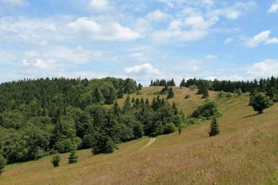
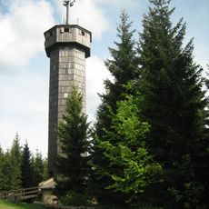
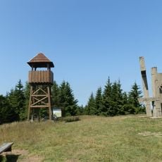
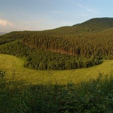
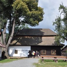
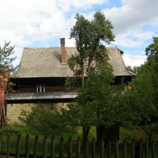
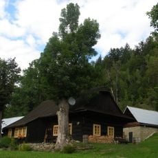
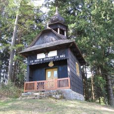
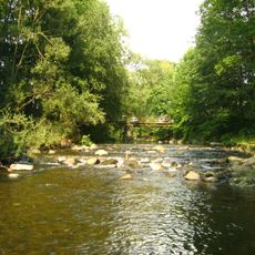
Veľký Javorník is a mountain summit in the Javorníky range with a height of 1072 meters, positioned between two districts in western Slovakia. The landscape features dense forests covering most slopes, with open areas near the peak offering broad views across the surrounding region.
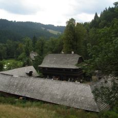
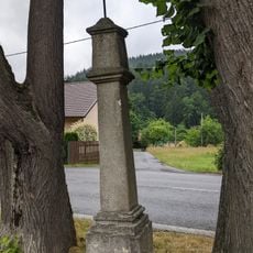
The mountain functioned as a natural boundary marker between regions over centuries, shaping how local settlements developed. This geographic position also influenced the trade routes that historically passed through the area.
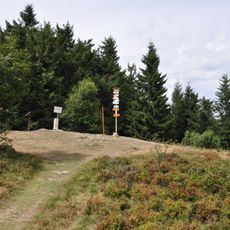
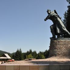
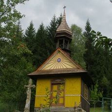
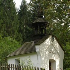
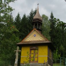
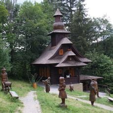
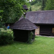
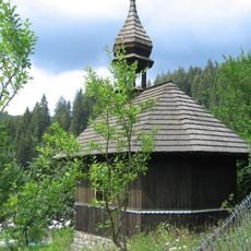
Local communities organize summer gatherings at the summit, maintaining traditions of seasonal celebrations that connect residents from surrounding districts.
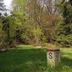
Well-marked hiking trails approach the summit from several different starting points, with the warmer months offering the best conditions for the climb. Sturdy footwear and weather-appropriate clothing are important, since conditions vary significantly throughout the year.
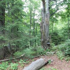
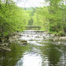
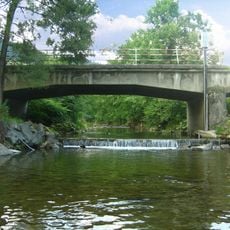
The northeastern slopes hold a protected nature reserve that preserves rare plant species and forest ecosystems typical of the Western Carpathians. This reserved area remains accessible to visitors and demonstrates the biological diversity that makes the region distinctive.
Location: Považská Bystrica District
Location: Čadca District
Elevation above the sea: 1,072 m
GPS coordinates: 49.31904,18.36782
Latest update: December 14, 2025 11:04
Fojtství ve Velkých Karlovicích
8.4 km
Malý Javorník
4.9 km
Church of Our Lady of the Snow in Velké Karlovice
7.5 km
Súkenická
9.1 km
Makovský priesmyk
7.8 km
Malý Javorník
6 km
Veľký Javorník
625 m
Stratenec
2.4 km
Javornícka hornatina
2.2 km
Kříž u kaple ve Velkých Karlovicích
5.8 km
Pomník padlým partyzánům
7.7 km
Venkovský dům - Karlovské muzeum, č.p. 267
7.6 km
Usedlost čp. 284
9.6 km
Usedlost čp. 287
9.6 km
Chapel of the Virgin Mary of the Rosary
3 km
Chapel of Saint John
8.7 km
Rectory in Velké Karlovice
7.4 km
Karlovské muzeum
7.6 km
Měšťanský dům
7.7 km
Boží muka
7.4 km
Kaple
6.2 km
Železniční most přes Vsetínskou Bečvu ve Velkých Karlovicích
6.7 km
Kaple svatého Huberta u údolní komunikace ve Velkých Karlovicích, místní části Pluskovec
6.5 km
Starý most přes Vsetínskou Bečvu do osady Bzové
8.1 km
Zvonice u kaple svatého Huberta ve Velkých Karlovicích, místní části Pluskovec
6.5 km
Most silnice II/481 přes Vsetínskou Bečvu ve Velkých Karlovicích
7.7 km
Kaple svatého Floriána u hlavní komunikace ve Velkých Karlovicích, místní části Leskové
5.8 km
Pamětní kříž u kaple svatého Huberta ve Velkých Karlovicích, místní části Pluskovec
6.5 kmVisited this place? Tap the stars to rate it and share your experience / photos with the community! Try now! You can cancel it anytime.
Discover hidden gems everywhere you go!
From secret cafés to breathtaking viewpoints, skip the crowded tourist spots and find places that match your style. Our app makes it easy with voice search, smart filtering, route optimization, and insider tips from travelers worldwide. Download now for the complete mobile experience.
A unique approach to discovering new places❞
— Le Figaro
All the places worth exploring❞
— France Info
A tailor-made excursion in just a few clicks❞
— 20 Minutes