
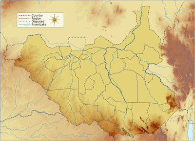
Lafon County, administrative area of South Sudan
Location: Eastern Equatoria
Elevation above the sea: 606 m
GPS coordinates: 5.03323,32.46906
Latest update: March 11, 2025 01:58
Lira
315.3 km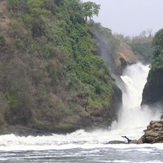
Murchison Falls
318.8 km
Boma National Park
227.8 km
Bandingilo National Park
49.3 km
Shambe National Park
301.2 km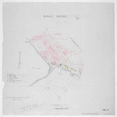
Nimule National Park
159 km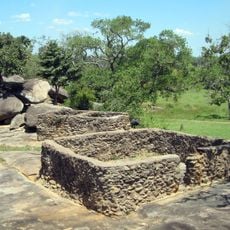
Baker's Fort
225.2 km
Juba Nile Bridge
98.3 km
St. Theresa Cathedral, Juba
99 km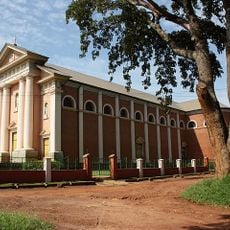
St. Joseph's Cathedral, Gulu
254.1 km
Kinyeti
130.5 km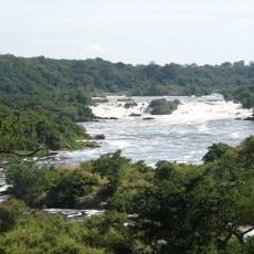
Karuma Falls
311.6 km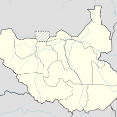
Juba Game Reserve
104.3 km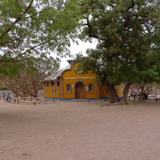
Holy Family Cathedral, Rumbek
368.5 km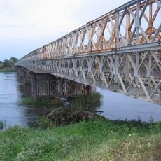
Juba Bridge
98.3 km
Agu
143.9 km
Abich
274.8 km
Mundu
240.2 km
Aga Falls
247 km
Loka Forest Reserve
190.4 km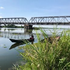
Albert Nile Bridge
305.8 km
Sauro Rocks
72.3 km
Atalochulo
341.9 km
Christ the King Cathedral, Yei
223.8 km
Donyiro Cliff
324.2 km
Mudīrīyat Junqalī
279.5 km
Nyareweng
243.8 km
Fajelu
259.5 kmVisited this place? Tap the stars to rate it and share your experience / photos with the community! Try now! You can cancel it anytime.
Discover hidden gems everywhere you go!
From secret cafés to breathtaking viewpoints, skip the crowded tourist spots and find places that match your style. Our app makes it easy with voice search, smart filtering, route optimization, and insider tips from travelers worldwide. Download now for the complete mobile experience.

A unique approach to discovering new places❞
— Le Figaro
All the places worth exploring❞
— France Info
A tailor-made excursion in just a few clicks❞
— 20 Minutes