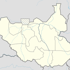
Greater Upper Nile, Administrative region in northeastern South Sudan.
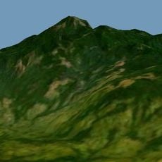
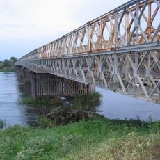
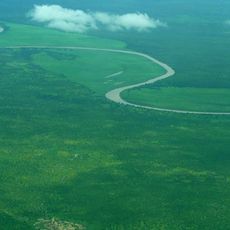
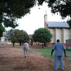
Greater Upper Nile is a region in northeastern South Sudan that stretches along the White Nile River, with Ethiopia to its east and Sudan to its north. The terrain includes wetlands, grasslands, and river valleys that support various communities and wildlife.
The region was part of Sudan until South Sudan gained independence in 2011, when it became part of the new nation. Between 2015 and 2020, it was reorganized into multiple administrative divisions reflecting changes in government structure.
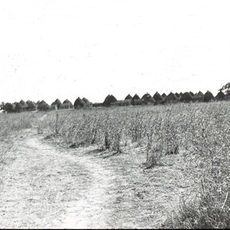
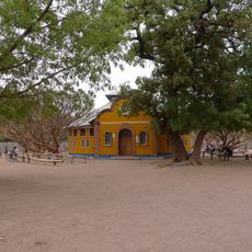
The region is home to the Nuer and Dinka peoples, who maintain traditional ways of life centered on herding animals and fishing in the wetlands. These communities speak their own languages and follow customs that shape daily routines and social gatherings.
The region is difficult to reach, especially during the rainy season when roads flood and river levels rise significantly. It is best to travel during the dry season and check local conditions before planning a visit.
The area is known for its vast swamp zones that experience extreme seasonal flooding, which has shaped how people live and move through the landscape. These water cycles remain central to the rhythm of life in the region.
The community of curious travelers
AroundUs brings together thousands of curated places, local tips, and hidden gems, enriched daily by 60,000 contributors worldwide.