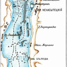
Dnieper Rapids, River rapids in Dnipropetrovsk and Zaporizhzhia Oblasts, Ukraine.
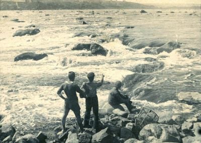
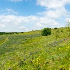
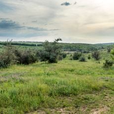
The Dnieper Rapids stretched across roughly 66 kilometers and included nine major rapids along with approximately 60 islands made of granite and gneiss rock. These stone formations created a challenging and complicated waterway with many obstacles to navigate.
Ancient Greek writers recorded these rapids in the first century AD as a significant landmark along trade routes connecting distant regions. The location became important for understanding regional commerce and movement in ancient times.
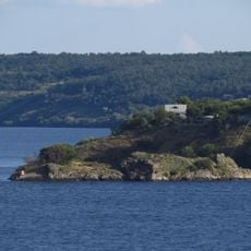
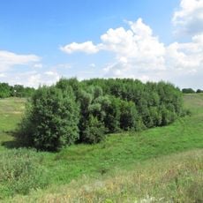
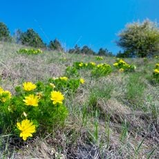
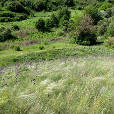
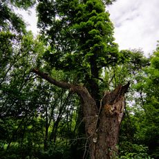
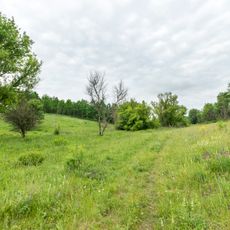
The rapids shaped how communities lived along this stretch, forcing people to adapt their settlements and water routes to navigate around the obstacles.
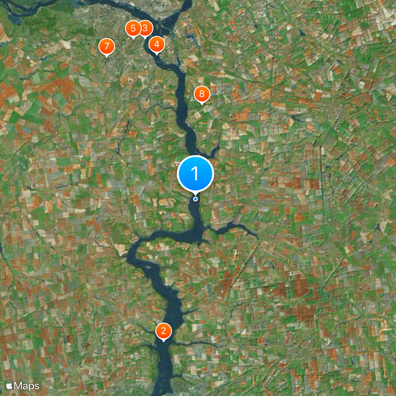
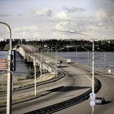
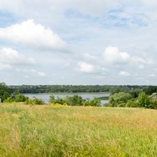
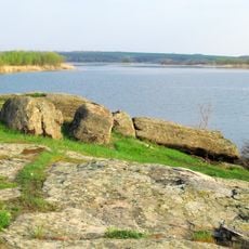
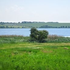
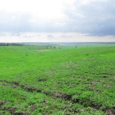
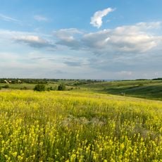
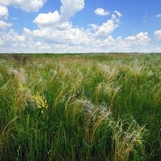
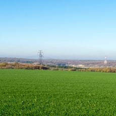
The rapids no longer exist as a natural feature because they were submerged in 1932 when a dam was constructed to create a reservoir. To learn about this vanished landscape, visitors can explore local museums and historical collections in the region.
The Nenasytets Rapid was the largest and most dangerous section, stretching roughly 2,4 kilometers in length. This exceptional formation made the river particularly treacherous for anyone attempting to cross or navigate through.
The community of curious travelers
AroundUs brings together thousands of curated places, local tips, and hidden gems, enriched daily by 60,000 contributors worldwide.