
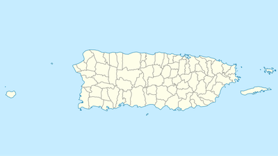
Bayaney, barrio in Hatillo, Puerto Rico
Location: Hatillo
Elevation above the sea: 330 m
GPS coordinates: 18.35280,-66.80670
Latest update: March 12, 2025 06:44
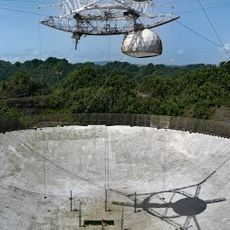
Arecibo Observatory
5.7 km
Arecibo Radio Telescope
5.8 km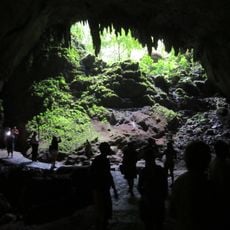
Camuy River Caverns National Park
4.5 km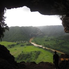
Cueva Ventana
12.3 km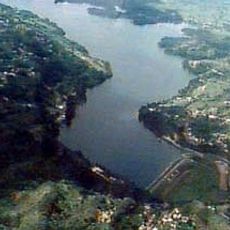
Guajataca Lake
11.9 km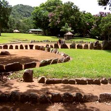
Caguana Indigenous Ceremonial Center
6.7 km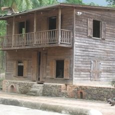
Hacienda Lealtad
15.6 km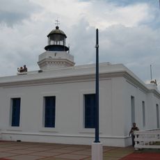
Arecibo Light
18.4 km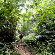
Guajataca State Forest
17.4 km
Arecibo Observatory
5.8 km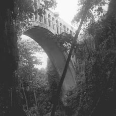
Puente Blanco
19.7 km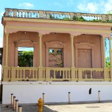
Casa de la Diosa Mita
16.1 km
Paseo Víctor Rojas
16.7 km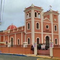
San Sebastián Mártir Church
19.5 km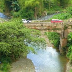
Las Cabañas Bridge
20.7 km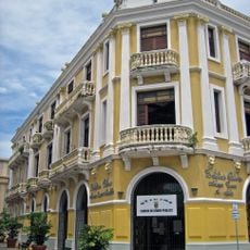
Edificio Oliver
16.5 km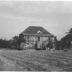
Hacienda La Sabana
13.9 km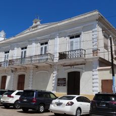
Palacio del Marqués de las Claras
16.6 km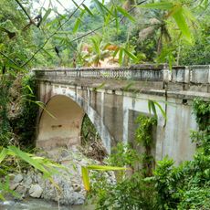
Blanco Bridge
16.6 km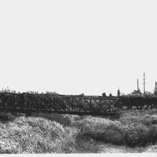
Cambalache Bridge
15.9 km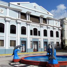
Corregimiento Plaza Theater
16.6 km
Gonzalo Marín 101
16.5 km
Casa Córdova
16.6 km
Teatro Liberty
19.4 km
Lares Pueblo
9.9 km
Villa Madera
2 km
Hacienda Mis Sueños
4 km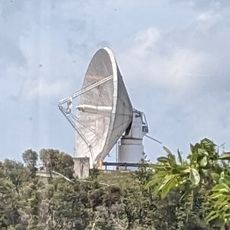
Arecibo 12m radio telescope
5.8 kmVisited this place? Tap the stars to rate it and share your experience / photos with the community! Try now! You can cancel it anytime.
Discover hidden gems everywhere you go!
From secret cafés to breathtaking viewpoints, skip the crowded tourist spots and find places that match your style. Our app makes it easy with voice search, smart filtering, route optimization, and insider tips from travelers worldwide. Download now for the complete mobile experience.

A unique approach to discovering new places❞
— Le Figaro
All the places worth exploring❞
— France Info
A tailor-made excursion in just a few clicks❞
— 20 Minutes