Chest opened
+${chestReward.xp} XP
Explorer
NOUVEAU ×${chestReward.collectible.quantity}
tapez pour fermer

See the monuments around you in AR Open chests in the app

Around Us is built for your phone — point your camera at the streets and discover the monuments and places around you in augmented reality. Around Us is built for your phone — chests unlock when you walk, explore and capture nearby places.

Enable Location

We need your location to show you interesting places around you

Discover nearby places

Find interesting locations and hidden gems around you

Precise directions

Get accurate directions and distances to places

Your location is never shared with other users. It's only used when you tap the location button.

Log in to your account

Start exploring — it's free

Trusted by 85,089 travelers worldwide

Continue with Google
Continue with Apple
or

We will send you a code to connect

By continuing, you accept our Terms and Conditions and our Privacy Policy

Check your inbox

We've sent a pincode in your inbox. Please enter the code below.

High Rise Bridge
Discussion Reviews Photo
4.3k Popularity

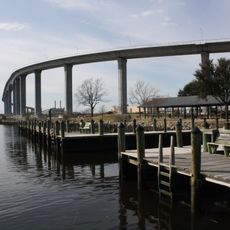
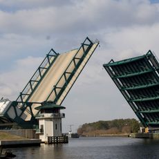
High Rise Bridge, Road bridge on Interstate 64 in Chesapeake, United States

The High Rise Bridge is a four-lane road bridge crossing the Southern Branch Elizabeth River in Chesapeake. The structure features a bascule mechanism that can be raised to allow large vessels to pass underneath when needed.

The original structure was completed in 1972 to connect Interstate 64 across the river. In 2022, a new fixed-span bridge opened beside the original to accommodate maritime traffic without requiring regular lifts.

The name comes from the bridge's substantial height above the river channel. Today, the structure serves as a daily route for commuters connecting the two cities and has become a familiar landmark in the region's transportation network.

Traffic flows continuously on this route, though drivers should be aware that the original bridge still occasionally lifts for maritime passage, causing brief delays. The newer parallel bridge provides an alternative path when lift operations occur.

Few travelers notice that the original bridge uses a complex bascule system capable of raising both sections simultaneously, a design that minimizes interruption to interstate traffic while accommodating tall vessels. This engineering approach was considered advanced for its time.

The community of curious travelers

AroundUs brings together thousands of curated places, local tips, and hidden gems, enriched daily by 60,000 contributors worldwide.
Start exploring
Location
GPS coordinates
36.75745,-76.28498
Latest update
August 30, 2026 16:30
Around this place
Jordan Bridge
United States of America

Jordan Bridge

3.5 mi
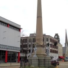
Confederate Monument
United States of America

Confederate Monument

5.4 mi
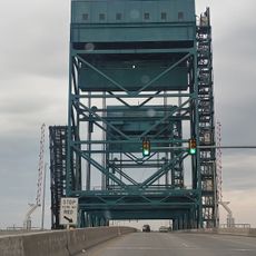
Gilmerton Bridge
United States of America

Gilmerton Bridge

1.4 mi
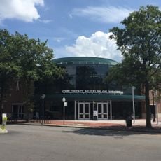
Children's Museum of Virginia
United States of America

Children's Museum of Virginia

5.4 mi
Great Bridge Bridge
United States of America

Great Bridge Bridge

3.6 mi
Bethany Baptist Church
United States of America

Bethany Baptist Church

3.9 mi
Chesapeake Arboretum
United States of America

Chesapeake Arboretum

2.8 mi
Pythian Castle
United States of America

Pythian Castle

5.3 mi
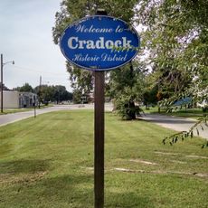
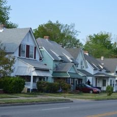
Cradock Historic District
United States of America

Cradock Historic District

3.6 mi
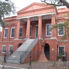
Portsmouth Courthouse
United States of America

Portsmouth Courthouse

5.5 mi
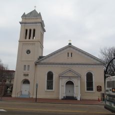
Trinity Episcopal Church
United States of America

Trinity Episcopal Church

5.4 mi
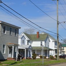
South Norfolk Historic District
United States of America

South Norfolk Historic District

4 mi
Truxtun Historic District
United States of America

Truxtun Historic District

4.5 mi
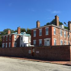
Quarters A, B, and C, Norfolk Naval Shipyard
United States of America

Quarters A, B, and C, Norfolk Naval Shipyard

4.8 mi
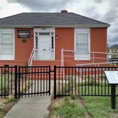
Portsmouth Community Library
United States of America

Portsmouth Community Library

5.4 mi
Old Portlock School No. 5
United States of America

Old Portlock School No. 5

2.1 mi
Splash Park
United States of America

Splash Park

5.3 mi
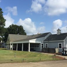
Bide-A-Wee Golf Course
United States of America

Bide-A-Wee Golf Course

4.4 mi
United States of America

Norfolk Portsmouth Lift Bridge

3.8 mi
United States of America

Fresnel Lens from Hog Island Light

5.4 mi
United States of America

Painting with a Twist

2.2 mi
United States of America

Work of art

3.4 mi
United States of America

Work of art

3.5 mi
United States of America

Scenic viewpoint, tower, Observation tower

3.1 mi
United States of America

Observation tower, scenic viewpoint, tower

3.4 mi
United States of America

Anchor

4.8 mi
United States of America

Tourist attraction, anchor

3.5 mi
United States of America

Cannon, tourist attraction

3.5 mi
Show the full map
Reviews
Share your experience

No review yet

Discussions
Start a discussion...

No discussion yet

« High Rise Bridge - Road bridge on Interstate 64 in Chesapeake, United States » is provided by Around Us (aroundus.com). Images and texts are derived from Wikimedia project under a Creative Commons license. You are allowed to copy, distribute, and modify copies of this page, under the conditions set by the license, as long as this note is clearly visible.

Discover hidden gems everywhere you go!

From secret cafés to breathtaking viewpoints, skip the crowded tourist spots and find places that match your style. Our app makes it easy with voice search, smart filtering, route optimization, and insider tips from travelers worldwide. Download now for the complete mobile experience.

Around Us App Screenshot

A unique approach to discovering new places

Le Figaro

All the places worth exploring

France Info

A tailor-made excursion in just a few clicks

20 Minutes

Around Us
Travel Guide & Maps
Download

Send to your phone

QR Code
1

Open the camera app on your mobile.

2

Point at the QR code with your camera. A notification will appear.

3

Tap the notification to open the link.