
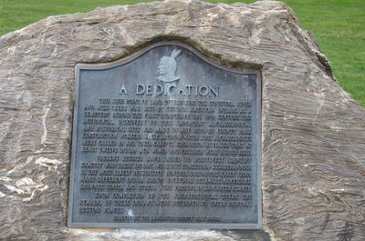
Park Site, archaeological site in West Lampeter Township, United States of America
Location: West Lampeter Township
GPS coordinates: 40.01863,-76.28435
Latest update: April 29, 2025 20:21
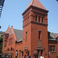
Central Market
2.1 km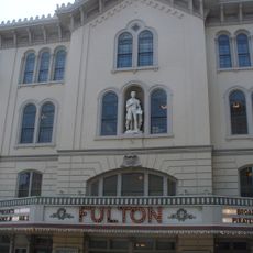
Fulton Opera House
3 km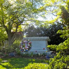
Woodward Hill Cemetery
1.7 km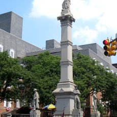
Soldiers and Sailors Monument
2.8 km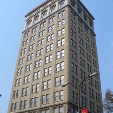
W. W. Griest Building
2.9 km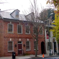
Demuth Museum
2.7 km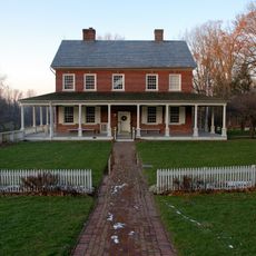
Rock Ford Plantation
351 m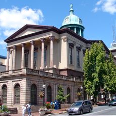
Lancaster County Courthouse
2.8 km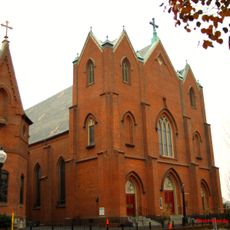
St. Mary's Church
2.7 km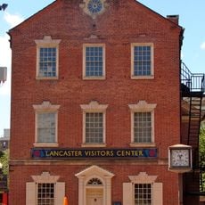
Old City Hall
2.9 km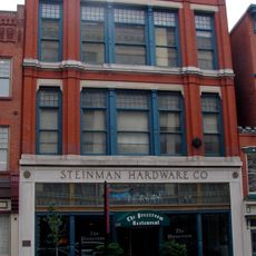
Steinman Hardware Store
2.7 km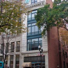
Kirk Johnson Building
2.8 km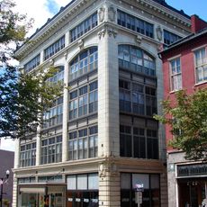
Hager Building
2.9 km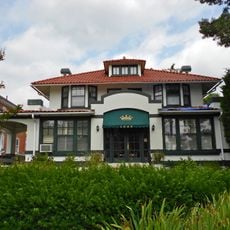
Totten House
2.3 km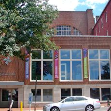
Lancaster Trust Company
2.9 km
Lancaster Historic District
2.5 km
Abbeville
2.1 km
Lancaster Crematorium
1.7 km
William Montgomery House
2.7 km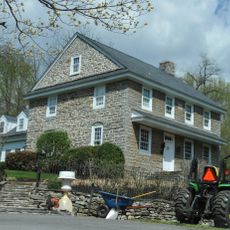
Johannes Harnish Farmstead
1.9 km
North Shippen–Tobacco Avenue Historic District
2.8 km
Jasper Yeates House
2.8 km
New Era Building
2.9 km
Germania Turnverein Building
2.9 km
Teller Brothers-Reed Tobacco Historic District
2.8 km
Historic Rock Ford Plantation
448 m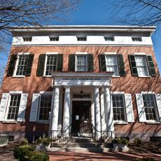
Lancaster Museum of Art
2.9 km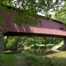
Kurtz's Mill Covered Bridge
578 mReviews
Visited this place? Tap the stars to rate it and share your experience / photos with the community! Try now! You can cancel it anytime.
Discover hidden gems everywhere you go!
From secret cafés to breathtaking viewpoints, skip the crowded tourist spots and find places that match your style. Our app makes it easy with voice search, smart filtering, route optimization, and insider tips from travelers worldwide. Download now for the complete mobile experience.

A unique approach to discovering new places❞
— Le Figaro
All the places worth exploring❞
— France Info
A tailor-made excursion in just a few clicks❞
— 20 Minutes