Arrow Head Dam, Höhle in den Vereinigten Staaten
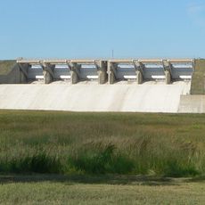
Enders Dam
28.5 km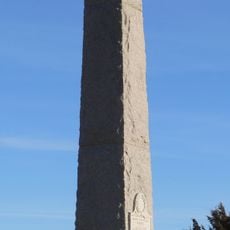
Massacre Canyon Historical Monument
47.5 km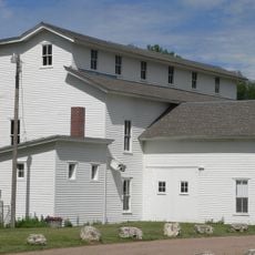
Champion Mill
39.1 km
Enders Reservoir State Recreation Area
29.3 km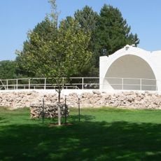
Howard T. Sawhill City Park
49.6 km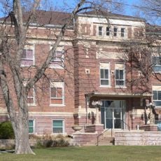
Dundy County Courthouse
13 km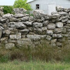
Texas Trail Stone Corral
48.3 km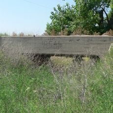
Ideal Cement bridge (Stratton, Nebraska)
28.1 km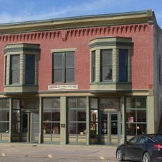
Shirley Opera House
57.2 km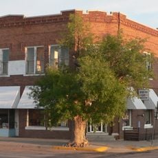
Henry Hickert Building
46.4 km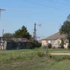
Pinkie's Corner
48.4 km
Cheyenne County Courthouse
49.7 km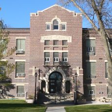
Chase County Courthouse
40.7 km
Arrowhead Lake
39 m
Arterburn Dam
50.5 km
Anderson Dam
7.1 km
Swanson Lake
35 km
Swanson Reservoir State Recreation Area
35 km
Twin Lakes
9.3 km
Enders Reservoir
29.9 km
Arrow Head Lake
298 m
Massacre Canyon Battlefield
47.5 km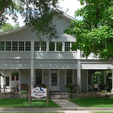
Balcony House
40.7 km
Kilpatrick Diversion Reservoir
43.4 km
Imperial Country Club
40.5 km
Riverside Recreation Golf Course
52.3 km
Atwood Country Club
56.2 km
Land and Sky
39.8 kmReviews
Visited this place? Tap the stars to rate it and share your experience / photos with the community! Try now! You can cancel it anytime.
Discover hidden gems everywhere you go!
From secret cafés to breathtaking viewpoints, skip the crowded tourist spots and find places that match your style. Our app makes it easy with voice search, smart filtering, route optimization, and insider tips from travelers worldwide. Download now for the complete mobile experience.

A unique approach to discovering new places❞
— Le Figaro
All the places worth exploring❞
— France Info
A tailor-made excursion in just a few clicks❞
— 20 Minutes