Enable Location

We need your location to show you interesting places around you

Discover nearby places

Find interesting locations and hidden gems around you

Precise directions

Get accurate directions and distances to places

Your location is never shared with other users. It's only used when you tap the location button.

Dundy County

Log in to your account

Start exploring — it's free

Trusted by 61,817 travelers worldwide

Continue with Google
Continue with Apple
or

We will send you a code to connect

By continuing, you accept our Terms and Conditions and our Privacy Policy

Check your inbox

We've sent a pincode in your inbox. Please enter the code below.

Dundy County, Administrative county in southwestern Nebraska, United States
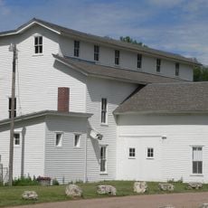
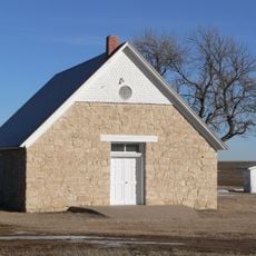
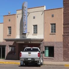
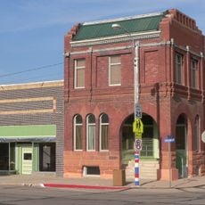
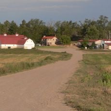
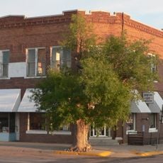
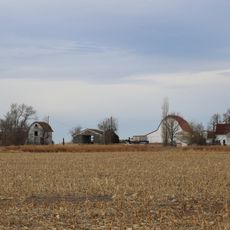
Description

Dundy County is an administrative region in southwestern Nebraska that stretches across the intersection of state boundaries with Colorado and Kansas. The land consists mainly of grassland and farmland with several small towns, Benkelman being the largest.

History

The area was founded as a county in 1873 and officially organized in 1884, taking its name from a federal judge. Its development followed the wider settlement of the American West and the expansion of farming in that era.

Culture

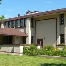
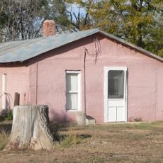
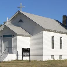
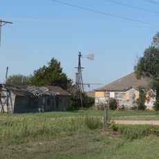
The land is shaped by farming and ranching, with these activities deeply influencing how residents live and view their community. You will see farms and ranches throughout the area, forming the backbone of local life.
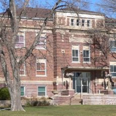
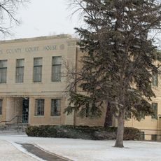
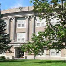
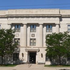
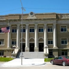
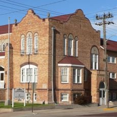
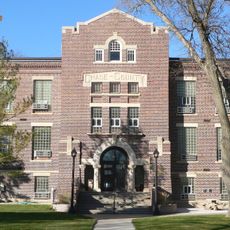
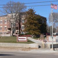
Practical

The area is best explored by car, as distances between small towns are considerable. The Benkelman courthouse on West 7th Avenue serves as the main hub for any administrative needs and is open on weekdays.

Did you know?

Unlike most other Nebraska counties, Dundy County follows Mountain Time instead of Central Time. This difference arose from its location at the state border and remains a distinctive feature today.

Location
Inception
1873
Capital city
Benkelman
Shares border with
Chase County, Cheyenne County, Yuma County, Hayes County, Hitchcock County, Rawlins County
GPS coordinates
40.18000,-101.69000
Latest update
December 10, 2025 16:01

AroundUs brings together thousands of curated places, local tips, and hidden gems, enriched daily by 60,000 contributors worldwide. Discover all places nearby (Nebraska).

Around this place
Harvey P. Sutton House
United States of America

Harvey P. Sutton House

90.5 km
Minor Sod House
United States of America

Minor Sod House

69.2 km
St. John's Evangelical Lutheran German Church and Cemetery
United States of America

St. John's Evangelical Lutheran German Church and Cemetery

84.1 km
Massacre Canyon Historical Monument
United States of America

Massacre Canyon Historical Monument

61.7 km
Champion Mill
United States of America

Champion Mill

32.8 km
Grant City Park
United States of America

Grant City Park

74.4 km
Howard T. Sawhill City Park
United States of America

Howard T. Sawhill City Park

46 km
St. Paul's Methodist Protestant Church
United States of America

St. Paul's Methodist Protestant Church

74.8 km
Dundy County Courthouse
United States of America

Dundy County Courthouse

19.7 km
Texas Trail Stone Corral
United States of America

Texas Trail Stone Corral

46.2 km
Cliff Theater
United States of America

Cliff Theater

46.7 km
Phillips County Courthouse
United States of America

Phillips County Courthouse

68.6 km
Ideal Cement bridge (Stratton, Nebraska)
United States of America

Ideal Cement bridge (Stratton, Nebraska)

42.6 km
Shirley Opera House
United States of America

Shirley Opera House

69.2 km
W. E. Heginbotham House
United States of America

W. E. Heginbotham House

68.5 km
Weyl Service Station
United States of America

Weyl Service Station

57.7 km
Grant Commercial Historic District
United States of America

Grant Commercial Historic District

73.7 km
Kuhrt Ranch
United States of America

Kuhrt Ranch

74.5 km
Perkins County Courthouse
United States of America

Perkins County Courthouse

73.7 km
Henry Hickert Building
United States of America

Henry Hickert Building

49.7 km
Red Willow County Courthouse
United States of America

Red Willow County Courthouse

90.5 km
Johnston Memorial Building
United States of America

Johnston Memorial Building

85.9 km
Pinkie's Corner
United States of America

Pinkie's Corner

41.2 km
Cheyenne County Courthouse
United States of America

Cheyenne County Courthouse

46.1 km
McCook YMCA
United States of America

McCook YMCA

90.5 km
Chase County Courthouse
United States of America

Chase County Courthouse

38.1 km
Millage Farm Rural Historic District
United States of America

Millage Farm Rural Historic District

66.9 km
United States of America

Highland Precinct

76.4 km
Show the full map
Administrative divisions
« Dundy County - Administrative county in southwestern Nebraska, United States » is provided by Around Us (aroundus.com). Images and texts are derived from Wikimedia project under a Creative Commons license. You are allowed to copy, distribute, and modify copies of this page, under the conditions set by the license, as long as this note is clearly visible.

Discover hidden gems everywhere you go!

From secret cafés to breathtaking viewpoints, skip the crowded tourist spots and find places that match your style. Our app makes it easy with voice search, smart filtering, route optimization, and insider tips from travelers worldwide. Download now for the complete mobile experience.

Around Us App Screenshot

A unique approach to discovering new places

Le Figaro

All the places worth exploring

France Info

A tailor-made excursion in just a few clicks

20 Minutes

Around Us
Travel Guide & Maps
Download

Send to your phone

QR Code
1

Open the camera app on your mobile.

2

Point at the QR code with your camera. A notification will appear.

3

Tap the notification to open the link.