Land and Sky
Location: Cheyenne County
GPS coordinates: 40.00077,-101.93500
Latest update: November 20, 2025 22:27
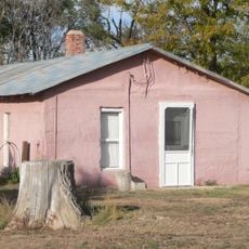
Minor Sod House
64.2 km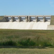
Enders Dam
58.8 km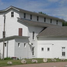
Champion Mill
54.6 km
Enders Reservoir State Recreation Area
59.2 km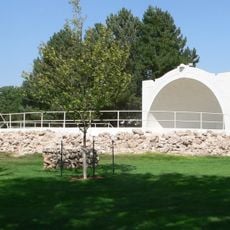
Howard T. Sawhill City Park
27.7 km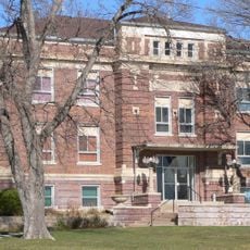
Dundy County Courthouse
34.7 km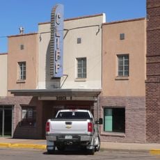
Cliff Theater
25.9 km
Kuhrt Ranch
62.3 km
Walter and Anna Zion Homestead
45.6 km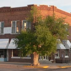
Henry Hickert Building
44.3 km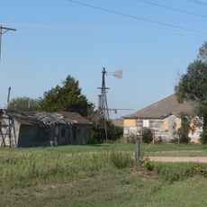
Pinkie's Corner
60.5 km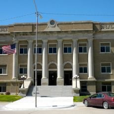
Cheyenne County Courthouse
27.7 km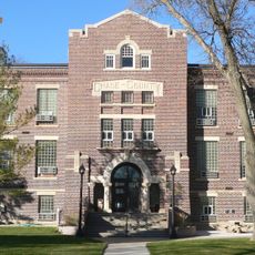
Chase County Courthouse
63 km
Hargreaves Homestead Rural Historic District
64.1 km
Arrowhead Lake
39.8 km
Arterburn Dam
55 km
Anderson Dam
45.7 km
Bonny Reservoir
48.3 km
Arrow Head Lake
39.6 km
Arrow Head Dam
39.8 km
Twin Lakes
31.4 km
Pawnee Hill
25.6 km
Enders Reservoir
58.3 km
Beecher Island Battlefield Monument
25.8 km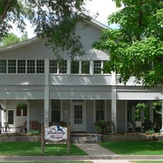
Balcony House
62.9 km
Kilpatrick Diversion Reservoir
53.1 km
Imperial Country Club
62.1 km
Ballyneal Golf and Hunt Club
54.8 kmReviews
Visited this place? Tap the stars to rate it and share your experience / photos with the community! Try now! You can cancel it anytime.
Discover hidden gems everywhere you go!
From secret cafés to breathtaking viewpoints, skip the crowded tourist spots and find places that match your style. Our app makes it easy with voice search, smart filtering, route optimization, and insider tips from travelers worldwide. Download now for the complete mobile experience.

A unique approach to discovering new places❞
— Le Figaro
All the places worth exploring❞
— France Info
A tailor-made excursion in just a few clicks❞
— 20 Minutes