Enable Location

We need your location to show you interesting places around you

Discover nearby places

Find interesting locations and hidden gems around you

Precise directions

Get accurate directions and distances to places

Your location is never shared with other users. It's only used when you tap the location button.

Cheyenne County

Log in to your account

Start exploring — it's free

Trusted by 61,504 travelers worldwide

Continue with Google
Continue with Apple
or

We will send you a code to connect

By continuing, you accept our Terms and Conditions and our Privacy Policy

Check your inbox

We've sent a pincode in your inbox. Please enter the code below.

Cheyenne County, County division in northwestern Kansas, United States.

Description

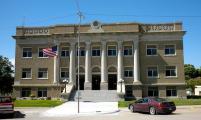
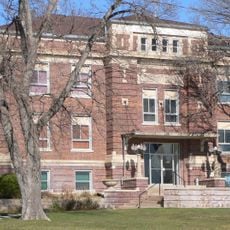
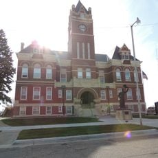
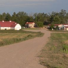
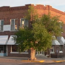
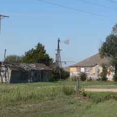
Cheyenne County stretches across the high plains in northwestern Kansas with St. Francis serving as its administrative center. The county encompasses rural areas with farms, ranches, and small towns scattered across wide open spaces.

History

Cheyenne County was established by the Kansas Legislature on March 6, 1873 during the period of western settlement. Its creation was part of the broader expansion into the plains that transformed the region's demographic and economic structure.

Culture

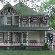
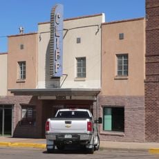
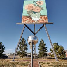
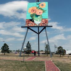
St. Francis preserves farming traditions through local markets and community gatherings that bring residents together. These events reflect agriculture's role in the everyday life of the area.

Practical

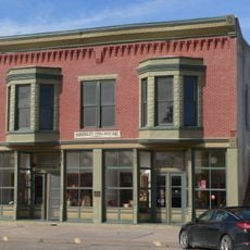
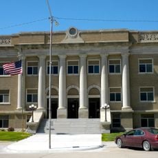
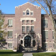
St. Francis sits centrally within the county and offers easy access to administrative services and local amenities. The best time to explore is during summer months when road conditions are optimal and local events take place.

Did you know?

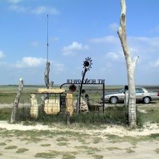
The county borders Colorado and Nebraska, creating a three-state junction point that influences regional trade. This border location has shaped local trade routes and transportation networks over time.

Location
Inception
March 6, 1873
Capital city
St. Francis
Shares border with
Dundy County, Rawlins County, Sherman County, Kit Carson County, Yuma County
GPS coordinates
39.80000,-101.80000
Latest update
December 10, 2025 15:52

AroundUs brings together thousands of curated places, local tips, and hidden gems, enriched daily by 60,000 contributors worldwide. Discover all places nearby (Kansas).

Around this place
Mount Sunflower
United States of America

Mount Sunflower

89 km
Elitch Gardens Carousel
United States of America

Elitch Gardens Carousel

67.8 km
Minor Sod House
United States of America

Minor Sod House

41.2 km
Mary Seaman Ennis House
United States of America

Mary Seaman Ennis House

51 km
Massacre Canyon Historical Monument
United States of America

Massacre Canyon Historical Monument

84.4 km
Champion Mill
United States of America

Champion Mill

74.8 km
Howard T. Sawhill City Park
United States of America

Howard T. Sawhill City Park

2.8 km
St. Paul's Methodist Protestant Church
United States of America

St. Paul's Methodist Protestant Church

91 km
Farmers State Bank of Cope
United States of America

Farmers State Bank of Cope

91.3 km
Pond Creek Station
United States of America

Pond Creek Station

100.8 km
Dundy County Courthouse
United States of America

Dundy County Courthouse

36 km
Texas Trail Stone Corral
United States of America

Texas Trail Stone Corral

89.4 km
Cliff Theater
United States of America

Cliff Theater

47.4 km
Goodland City Library
United States of America

Goodland City Library

51 km
Thomas County Courthouse
United States of America

Thomas County Courthouse

79 km
Ideal Cement bridge (Stratton, Nebraska)
United States of America

Ideal Cement bridge (Stratton, Nebraska)

65.1 km
Ruleton School
United States of America

Ruleton School

51.6 km
Shirley Opera House
United States of America

Shirley Opera House

65 km
Clark–Robidoux House
United States of America

Clark–Robidoux House

100 km
Kuhrt Ranch
United States of America

Kuhrt Ranch

37.3 km
Henry Hickert Building
United States of America

Henry Hickert Building

23.5 km
Pinkie's Corner
United States of America

Pinkie's Corner

82.1 km
Cheyenne County Courthouse
United States of America

Cheyenne County Courthouse

2.9 km
Chase County Courthouse
United States of America

Chase County Courthouse

81.3 km
Old Town Museum
United States of America

Old Town Museum

68.9 km
World's Largest Easel
United States of America

World's Largest Easel

52.1 km
Colby Aquatic Park
United States of America

Colby Aquatic Park

80.1 km
Giant van Gogh Painting
United States of America

Giant van Gogh Painting

52.1 km
Show the full map
Administrative divisions
« Cheyenne County - County division in northwestern Kansas, United States » is provided by Around Us (aroundus.com). Images and texts are derived from Wikimedia project under a Creative Commons license. You are allowed to copy, distribute, and modify copies of this page, under the conditions set by the license, as long as this note is clearly visible.

Discover hidden gems everywhere you go!

From secret cafés to breathtaking viewpoints, skip the crowded tourist spots and find places that match your style. Our app makes it easy with voice search, smart filtering, route optimization, and insider tips from travelers worldwide. Download now for the complete mobile experience.

Around Us App Screenshot

A unique approach to discovering new places

Le Figaro

All the places worth exploring

France Info

A tailor-made excursion in just a few clicks

20 Minutes

Around Us
Travel Guide & Maps
Download

Send to your phone

QR Code
1

Open the camera app on your mobile.

2

Point at the QR code with your camera. A notification will appear.

3

Tap the notification to open the link.