
Hooksett Village Bridge
Location: Merrimack County
Inception: 1909
GPS coordinates: 43.09584,-71.46333
Latest update: March 5, 2025 09:46

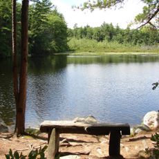
Bear Brook State Park
10.9 km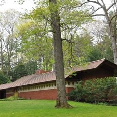
Zimmerman House
8.3 km
Amoskeag Falls
10.5 km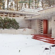
Toufic H. Kalil House
8.3 km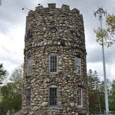
Smyth Tower
9.5 km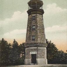
Weston Observatory
10.7 km
Gen. John Stark House
9.7 km
Ash Street School
11.1 km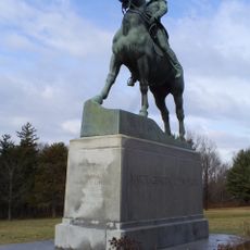
Stark Park
9.1 km
Frank Pierce Carpenter House
10.1 km
District E
11.3 km
District C
11.2 km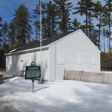
Allenstown Meeting House
9.8 km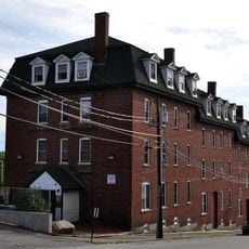
District D
10.8 km
Roger Sullivan House
10.9 km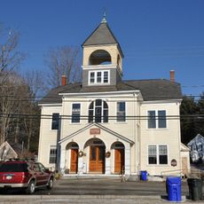
Grasmere Schoolhouse No. 9 and Town Hall
10.7 km
Bear Brook State Park Civilian Conservation Corps (CCC) Camp Historic District
9.8 km
Thomas Russell Hubbard House
10.9 km
William Parker Straw House
9.9 km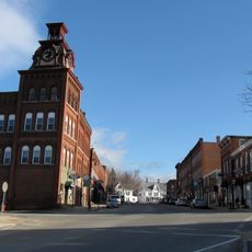
Suncook Village Commercial-Civic Historic District
4 km
Alpheus Gay House
10.9 km
Donald D. Tuttle House
10.8 km
Carpenter and Bean Block
10.9 km
Smith and Dow Block
10.9 km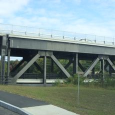
Suncook Connector Bridge
4.1 km
Notre Dame Bridge
11.3 km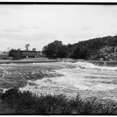
Hooksett Falls Bridges
779 m
Notre Dame Bridge
11.3 kmReviews
Visited this place? Tap the stars to rate it and share your experience / photos with the community! Try now! You can cancel it anytime.
Discover hidden gems everywhere you go!
From secret cafés to breathtaking viewpoints, skip the crowded tourist spots and find places that match your style. Our app makes it easy with voice search, smart filtering, route optimization, and insider tips from travelers worldwide. Download now for the complete mobile experience.

A unique approach to discovering new places❞
— Le Figaro
All the places worth exploring❞
— France Info
A tailor-made excursion in just a few clicks❞
— 20 Minutes