Merrimack County, Administrative county in central New Hampshire, US
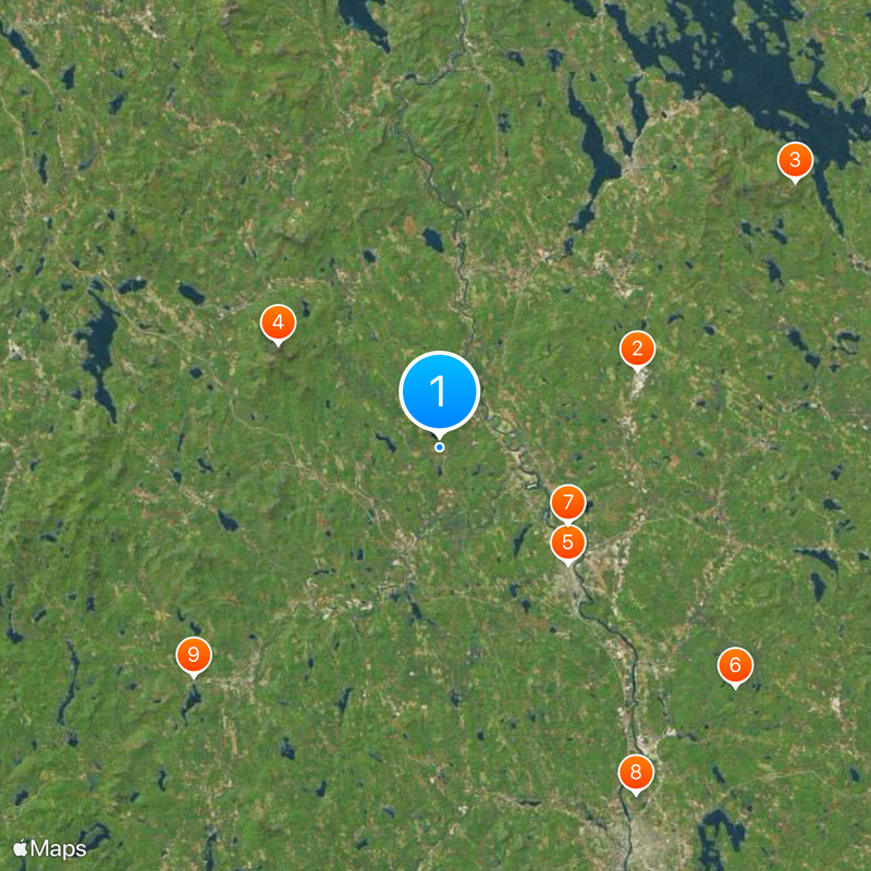
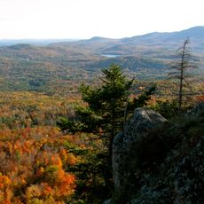
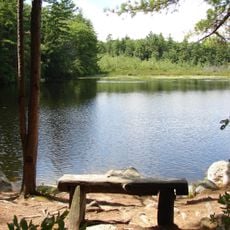
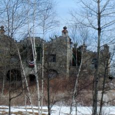
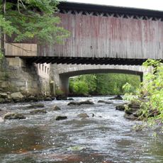
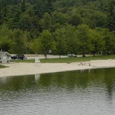
Merrimack County is an administrative county in central New Hampshire comprising two cities and twenty-five towns across its territory. The landscape includes forested areas, rivers, and Mount Kearsarge, which rises prominently above the surrounding region.
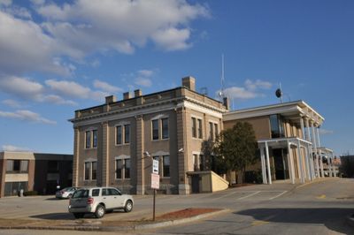
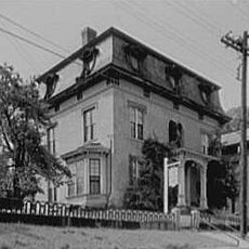
The county was established in 1823 through a division of territories from neighboring administrative areas. Concord became its administrative center and eventually developed as the state capital.
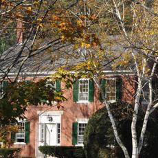
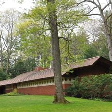
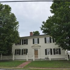
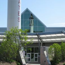
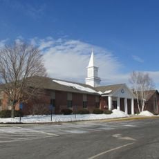
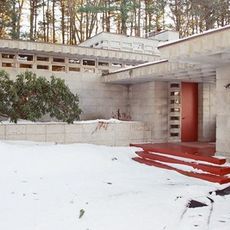
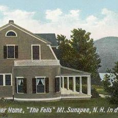
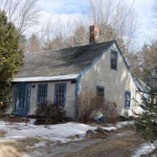
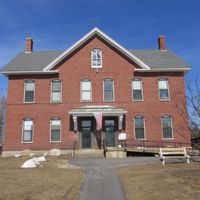
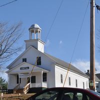
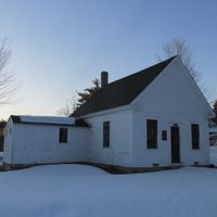
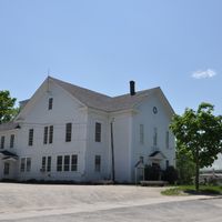
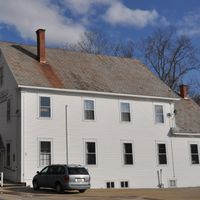
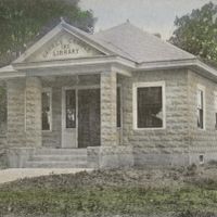
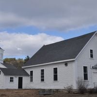
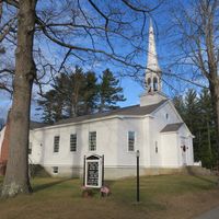
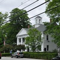
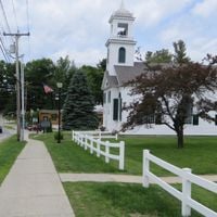
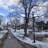
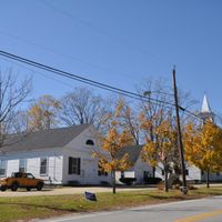
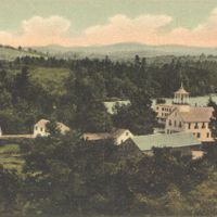
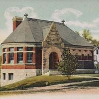
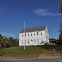
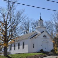
Community centers and libraries throughout the county serve as gathering places where residents participate in local traditions and seasonal events. These spaces reflect how people here connect with each other and their surroundings.
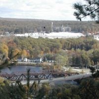
Concord, located at the heart of the county, serves as the main administrative hub where visitors can access state institutions and services. The region offers good road connections linking its towns and communities together.
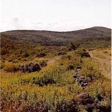
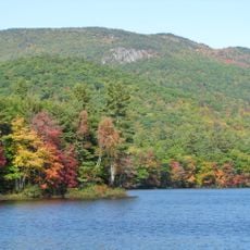
Mount Kearsarge rises at the boundary between Warner and Wilmot towns with hiking trails that reward climbers with wide views of the surrounding landscape. The mountain attracts visitors interested in exploring the region's natural geology and outdoor recreation.
Location: New Hampshire
Inception: 1823
Capital city: Concord
Shares border with: Belknap County, Hillsborough County, Rockingham County, Strafford County, Grafton County, Sullivan County
Website: http://merrimackcounty.net
GPS coordinates: 43.30000,-71.68000
Latest update: December 20, 2025 13:38
New Hampshire Motor Speedway
19 kmMount Major
39.7 km
Mount Kearsarge
17.1 km
New Hampshire State House
15.5 km
Bear Brook State Park
34.1 km
New Hampshire Governor's Mansion
13.4 km
Zimmerman House
35.6 km
Franklin Pierce Homestead
30 km
Kimball Castle
39.8 km
McAuliffe-Shepard Discovery Center
14.6 km
Trinity Baptist Church sex scandal
16.1 km
Old North Cemetery
14.5 km
Pierce Manse
14.4 km
Gunstock Mountain
35 km
Toufic H. Kalil House
35.6 km
Monadnock-Sunapee Greenway
33.2 km
Hannah Duston Memorial State Historic Site
7.3 km
The Fells
30.2 kmBelknap Mountain
34.9 km
Memorial Arch of Tilton
17.3 km
House by the Side of the Road
18 km
Contoocook Railroad Bridge
9 km
Ragged Mountain
23.4 km
Franklin Pierce House
16.2 kmMount Rowe
36.6 km
Mount Sunapee State Park
31.3 km
Endicott Rock
38.4 km
Ellacoya State Park
40.2 kmVisited this place? Tap the stars to rate it and share your experience / photos with the community! Try now! You can cancel it anytime.
Discover hidden gems everywhere you go!
From secret cafés to breathtaking viewpoints, skip the crowded tourist spots and find places that match your style. Our app makes it easy with voice search, smart filtering, route optimization, and insider tips from travelers worldwide. Download now for the complete mobile experience.
A unique approach to discovering new places❞
— Le Figaro
All the places worth exploring❞
— France Info
A tailor-made excursion in just a few clicks❞
— 20 Minutes