Henniker, town in New Hampshire
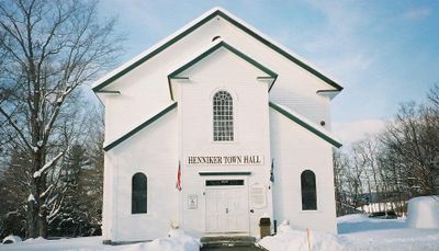
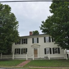
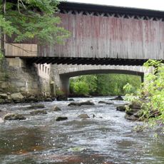
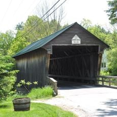
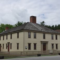
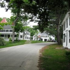
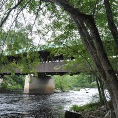
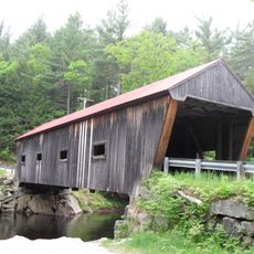
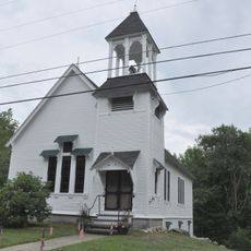
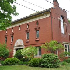
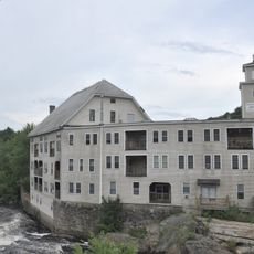
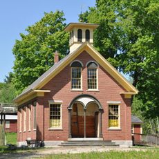
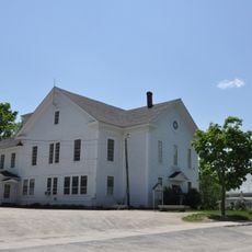
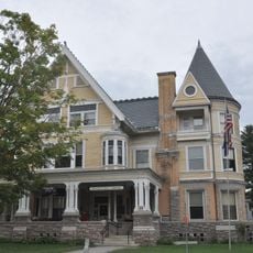
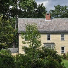
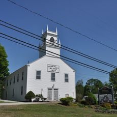
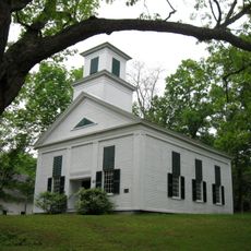
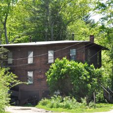
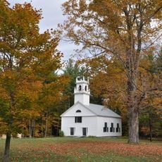
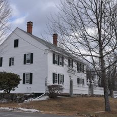
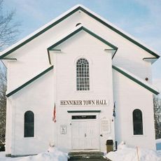
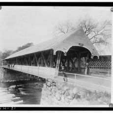
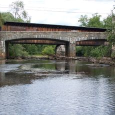
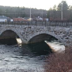
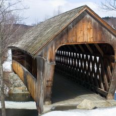
Henniker is a small town in Merrimack County, New Hampshire, known for its historic buildings and quiet streets. The place has a central area with small shops, cafes, and local businesses, while the Contoocook River runs through it and offers pleasant walking paths along the banks.
The town was founded in the 18th century and developed into an active community center with stagecoach lines in the 1820s and its first brass band in the 1850s. In the winter of 1816, the area experienced crop failures due to unusually cold conditions, showing the difficult history of early settlers.
The name Henniker means "The Only Henniker on Earth," reflecting the strong community identity that defines the town. People here maintain their local character through historic buildings, handmade goods in shops, and regular community gatherings that bring neighbors together.
The best way to explore Henniker is to walk through the central area where you can easily reach shops, cafes, and the river. In winter months, also visit nearby Pats Peak for skiing, which is family-friendly and offers short wait times.
Henniker proudly calls itself "The Only Henniker on Earth," a unique identity reflecting the town's self-awareness. The village also has a surprising history of exhibiting an elephant and hosting puppet shows in the early 1800s, showing that even small towns were places of entertainment and wonder.
The community of curious travelers
AroundUs brings together thousands of curated places, local tips, and hidden gems, enriched daily by 60,000 contributors worldwide.