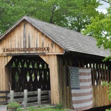
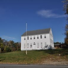
Waterloo Covered Bridge
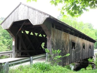
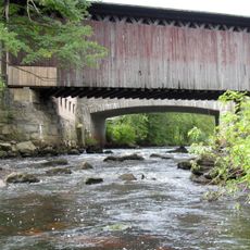
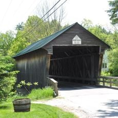
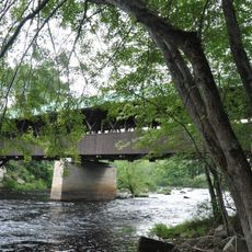
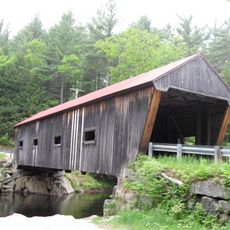
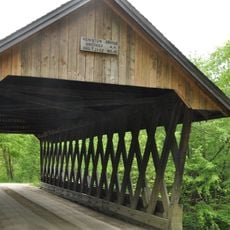
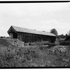
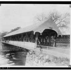
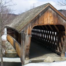
Waterloo Covered Bridge is a wooden road bridge crossing the Warner River in Merrimack County. It features a Town lattice truss design with vertical wooden planks, a triangular metal roof, and side openings that allow light inside, spanning just over 76 feet (23 meters) in length.
Built in 1859, the bridge follows the Town lattice truss design typical of 19th-century wooden structures. It was added to the National Register of Historic Places in 1976 and underwent significant restoration work in 1970 with concrete foundations added to support its structure.
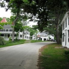
The bridge connects communities across the Warner River and represents local heritage valued by the area. Today, visitors come to walk through and appreciate the modest craftsmanship that has endured for generations.
The bridge is narrow and designed for single-lane traffic, so drive or walk carefully through it. Access is open to the public year-round, and the surrounding area is quiet and walkable, with the river and waterfall visible from the site.
The bridge was built using remarkably simple methods and cost less than fifty dollars, an impressively low sum even for its time. Visitors today can examine the wooden lattice framework and iron tension rods up close to understand how early builders created lasting structures with minimal resources.
The community of curious travelers
AroundUs brings together thousands of curated places, local tips, and hidden gems, enriched daily by 60,000 contributors worldwide.