Parroquia Platanillal, third-level administrative division in the Municipio Atures, Amazonas State, Venezuela
Location: Municipio Autónomo Atures
Location: Amazonas
Part of: Municipio Autónomo Atures
GPS coordinates: 5.39847,-67.67314
Latest update: October 26, 2025 02:29
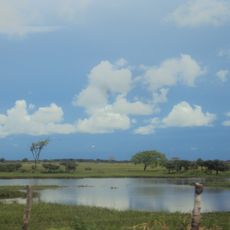
Santos Luzardo National Park
146.8 km
Cerro Autana
65.4 km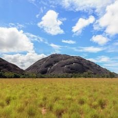
Piedra La Tortuga Natural Monument
20.6 km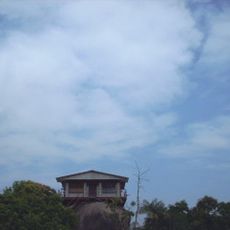
Casa sobre La Piedra
28.6 km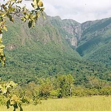
Yutaje Falls
172.9 km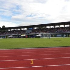
Estadio Antonio José de Sucre
30.7 km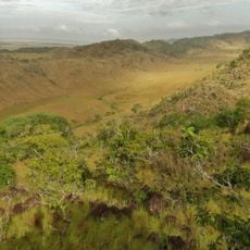
Galeras del Cinaruco
145.1 km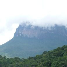
Cerro Yaví Natural Monument
199.1 km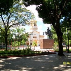
Cathedral of Mary Help of Christians, Puerto Ayacucho
30.3 km
Gran Hotel Amazonas
30.5 km
Cerros Camani y Morrocoy Natural Monument
151.3 km
Cuao-Sipapo y Moriche Massif Natural Monument
45.8 km
Monumento Natural Cerro Autana
65.4 km
Parguaza Forest Reserve
103.2 km
Sipapo Forest Reserve
52.7 km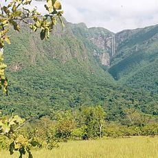
Serranía Yutajé y Coro-coro Natural Monument
168.4 km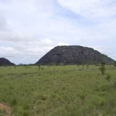
Piedra Pintada Natural Monument
20.9 km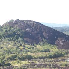
Piedra La Tortuga
20.6 km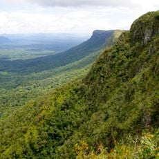
Cerro Guanay Natural Monument
152.1 km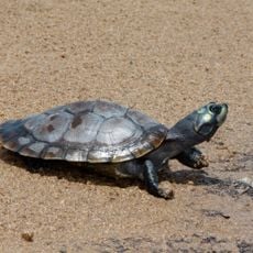
La Tortuga Arrau Wildlife Refuge
137.9 km
Comunidad Indígena de Sabanitas
170.7 km
Casa de la Piedra
28.6 km
El Tobogán de la Selva
6.3 km
Monumento Bicentenario
30.7 km
Soy amazonas
30.7 km
Work of art, sculpture
31.6 km
Installation artwork, Work of art
26.9 km
Scenic viewpoint
75.7 kmReviews
Visited this place? Tap the stars to rate it and share your experience / photos with the community! Try now! You can cancel it anytime.
Discover hidden gems everywhere you go!
From secret cafés to breathtaking viewpoints, skip the crowded tourist spots and find places that match your style. Our app makes it easy with voice search, smart filtering, route optimization, and insider tips from travelers worldwide. Download now for the complete mobile experience.

A unique approach to discovering new places❞
— Le Figaro
All the places worth exploring❞
— France Info
A tailor-made excursion in just a few clicks❞
— 20 Minutes