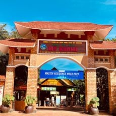
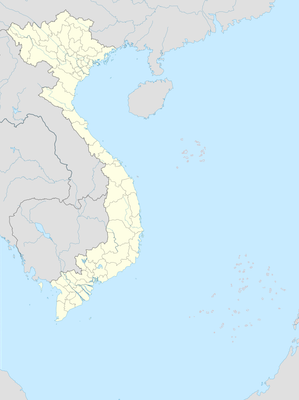
Nhơn Ái, Commune of Phong Điền county, Cần Thơ, Việt Nam
Location: Phong Điền
Location: Cần Thơ
Elevation above the sea: 2 m
GPS coordinates: 9.99472,105.66000
Latest update: November 15, 2025 00:18

My Khanh Tourist Village
5 km
Cai Rang Bridge
10 km
Song Ngu Farm
8.8 km
Floating market
747 m
Fruit garden
8.8 km
Snake Farm
2.8 km
Commercial Snake Farm. The animals get grown and killed. Skin and meat are sold.
2.8 km
Rice noodle factory
8.7 km
Ice Factory
1.9 km
Fruits garden
3.1 km
Rice Noodle Manufacture
8.7 km
Fish sauce factory
8.7 km
Chinese market
10 km
Cocoa plantation
5.4 km
Funny Land
5.9 km
Tran Hoang Na Bridge
11.9 km
D
12.5 km
NHÀ DÁT VÀNG CẦN THƠ
12 km
Zone 7 Coffee
12.1 km
Ba Bo Bridge
10.5 km
Vườn Sinh Thái Ba Láng
8.9 km
Quán Nhà hàng Hoa Súng
8.2 km
Dat Can tho
12.4 km
Scenic viewpoint
9.3 km
Phong Điền Floating Market
616 m
Monument
2.7 km
Monument
11.1 km
Ngô Minh Chiêu
12.2 kmReviews
Visited this place? Tap the stars to rate it and share your experience / photos with the community! Try now! You can cancel it anytime.
Discover hidden gems everywhere you go!
From secret cafés to breathtaking viewpoints, skip the crowded tourist spots and find places that match your style. Our app makes it easy with voice search, smart filtering, route optimization, and insider tips from travelers worldwide. Download now for the complete mobile experience.

A unique approach to discovering new places❞
— Le Figaro
All the places worth exploring❞
— France Info
A tailor-made excursion in just a few clicks❞
— 20 Minutes
