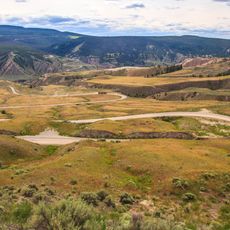
Big Basin Provincial Park, provincial park in British Columbia, Canada
Location: British Columbia
GPS coordinates: 51.37639,-122.64306
Latest update: November 21, 2025 18:06
Farwell Canyon
51.1 km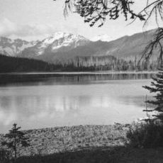
Spruce Lake Protected Area
44.3 km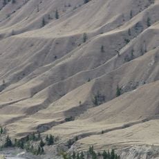
Churn Creek Protected Area
23.4 km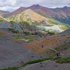
South Chilcotin Mountains Provincial Park
48.3 km
Big Creek Provincial Park
37.4 km
Mount Vic
49.9 km
Junction Sheep Range Provincial Park
49.6 km
Yalakom Provincial Park
35.2 km
Fred Antoine Provincial Park
35.2 km
French Bar Creek Provincial Park
34.9 km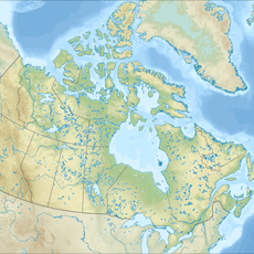
Big Creek Canyon
52.8 km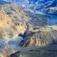
French Bar Canyon
38.7 km
Big Creek Ecological Reserve
51.2 km
Alkali Rapids
42.9 km
Golden Rapids
50.9 km
Railroad Rapids
44.4 km
Gaspard Rapids
32.6 km
Cut Rapids
51.4 km
McEwen Rapids
41.2 km
Iron Rapids
57 km
Watson Bar
52.2 km
Farwell Rapids
51.1 km
Caboose Rapids
44.4 km
Warner Glacier
56.4 km
Palisade Bluff
55.3 km
Farwell Dunes Trailhead
51.7 km
Scenic viewpoint
30.3 km
Scenic viewpoint
26.9 kmReviews
Visited this place? Tap the stars to rate it and share your experience / photos with the community! Try now! You can cancel it anytime.
Discover hidden gems everywhere you go!
From secret cafés to breathtaking viewpoints, skip the crowded tourist spots and find places that match your style. Our app makes it easy with voice search, smart filtering, route optimization, and insider tips from travelers worldwide. Download now for the complete mobile experience.

A unique approach to discovering new places❞
— Le Figaro
All the places worth exploring❞
— France Info
A tailor-made excursion in just a few clicks❞
— 20 Minutes