
Mehrun, Mehrun as Samian Ware discovery site
Location: Voerde
Part of: Samian Research
GPS coordinates: 51.58333,6.61667
Latest update: August 27, 2025 09:14
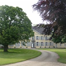
Haus Ossenberg
2.6 km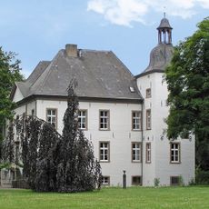
Haus Voerde
3.9 km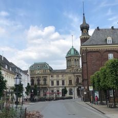
Stammhaus Underberg
4.3 km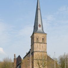
St. Peter
4.3 km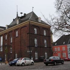
Altes Rathaus (Rheinberg)
4.3 km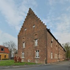
Alte Kellnerei
4 km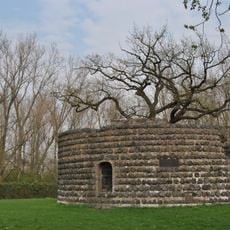
Zollturm
4 km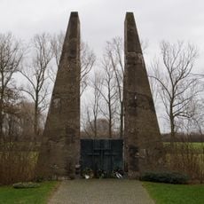
Tor der Toten
4.2 km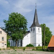
Evangelische Kirche Götterswickerhamm
3.1 km
Spanischer Vallan
4.8 km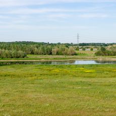
Rheinvorland im Orsoyer Rheinbogen
2.2 km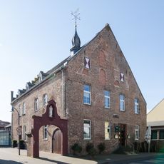
Kamper Hof
4.4 km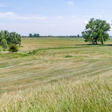
Rheinvorland östlich von Wallach
3 km
Gelderstraße 22
4.4 km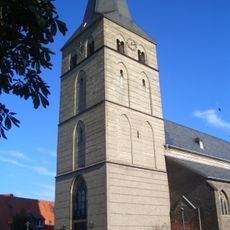
St. Peter (Spellen)
3 km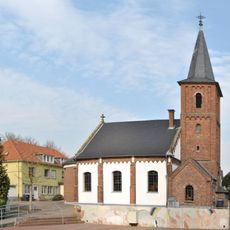
Evangelische Pfarrkirche Rheinberg
4.1 km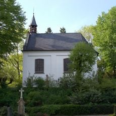
St.-Anna-Kapelle
4.9 km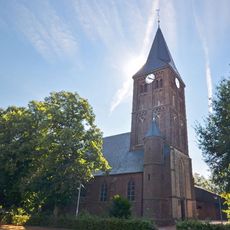
Evermarus Church
4.2 km
Rheinvorland nördlich der Ossenberger Schleuse
1.9 km
Alter Rhein, Jenneckes Gatt, Niepgraben
4 km
Forschungsrevier im Orsoyer Rheinbogen
2.7 km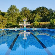
Underbergbad
4.9 km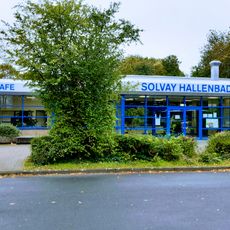
Solvay Hallenbad
4.1 km
Gemeindezentrum Rheinberg
4.2 km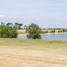
LSG-Rheinvorland an der Momm und Rheinauenwald
1.9 km
LSG-Orsoyer Rheinbogen und Eversael
3.1 km
Church of the Assumption, Ossenberg
3 km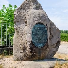
Gedenkstein an der Momm
1.5 kmReviews
Visited this place? Tap the stars to rate it and share your experience / photos with the community! Try now! You can cancel it anytime.
Discover hidden gems everywhere you go!
From secret cafés to breathtaking viewpoints, skip the crowded tourist spots and find places that match your style. Our app makes it easy with voice search, smart filtering, route optimization, and insider tips from travelers worldwide. Download now for the complete mobile experience.

A unique approach to discovering new places❞
— Le Figaro
All the places worth exploring❞
— France Info
A tailor-made excursion in just a few clicks❞
— 20 Minutes