
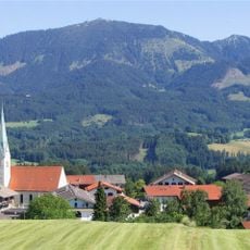
Inschutznahme des Schwarzen Sees und Umgebung als LSG, protected landscape in Bavaria, Germany
Location: Rosenheim
Inception: 1967
GPS coordinates: 47.76187,12.24643
Latest update: June 4, 2025 20:53
Hochries
1.6 km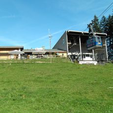
Hochriesbahn
1.2 km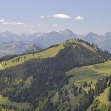
Feichteck
3.3 km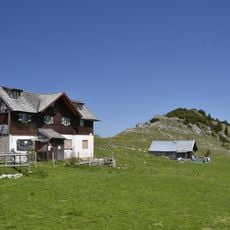
Klausenberg
3 km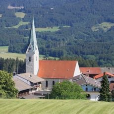
Mariä Himmelfahrt (Törwang)
3.3 km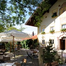
Gasthaus Alpenrose
1.9 km
Naturbad Samerberger Filze
2.6 km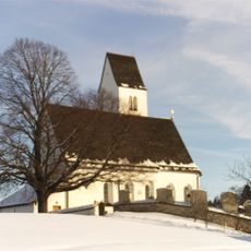
Steinkirchen. St. Peter
4.4 km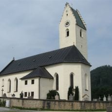
St. Bartholomäus
4.8 km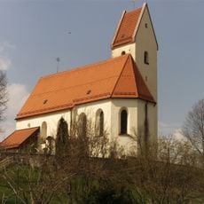
St. Ägidius und Nikolaus
1.9 km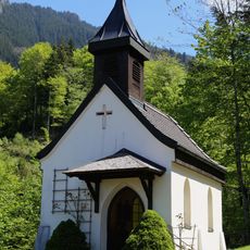
Duftbräukapelle
3.4 km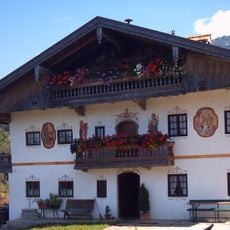
Gritschen
4.1 km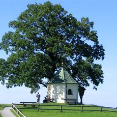
Aussichtskapelle Obereck
3.9 km
Dorfplatz 6
3.3 km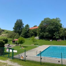
Freibad Frasdorf
4.4 km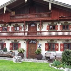
Ensemble Dorfplatz
3.3 km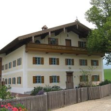
Bauernhaus Moarhof
4.7 km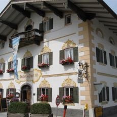
Gasthaus zur Post
3.3 km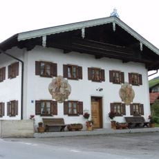
Eßbaum 3
3.7 km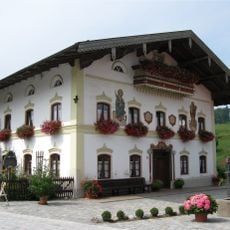
Dorfplatz 8
3.3 km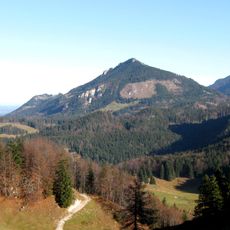
Hochriesgebiet und Hangwälder im Aschauer Tal
2.3 km
Hammerbach 10
4.8 km
Mitterhof 7
2.4 km
Bauernhaus
4.6 km
Feichteckstraße 2
1.7 km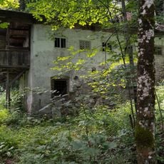
Hammerbach 16
4.6 km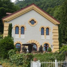
Hammerbach 13
4.8 km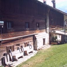
Bauernhaus
4.5 kmReviews
Visited this place? Tap the stars to rate it and share your experience / photos with the community! Try now! You can cancel it anytime.
Discover hidden gems everywhere you go!
From secret cafés to breathtaking viewpoints, skip the crowded tourist spots and find places that match your style. Our app makes it easy with voice search, smart filtering, route optimization, and insider tips from travelers worldwide. Download now for the complete mobile experience.

A unique approach to discovering new places❞
— Le Figaro
All the places worth exploring❞
— France Info
A tailor-made excursion in just a few clicks❞
— 20 Minutes