
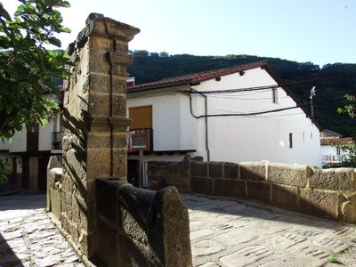
La Puentecilla, bridge in Tornavacas, Spain
Location: Tornavacas
Inception: 18 century
GPS coordinates: 40.25370,-5.69034
Latest update: March 3, 2025 03:41
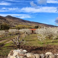
Valle del Jerte
20.6 km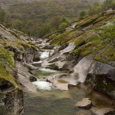
Reserva natural Garganta de los Infiernos
3.8 km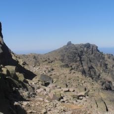
Calvitero
6.1 km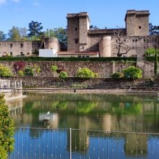
Castillo de Jarandilla de la Vera
14.1 km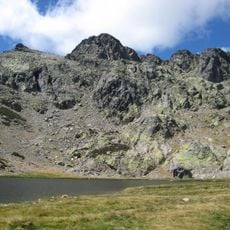
La Covacha
8.8 km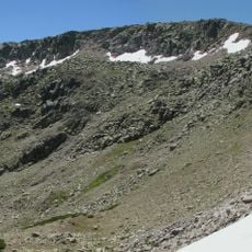
Canchal de la Ceja
6.5 km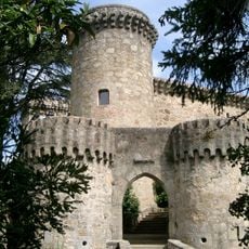
Castillo Palacio de los Condes de Oropesa
14.1 km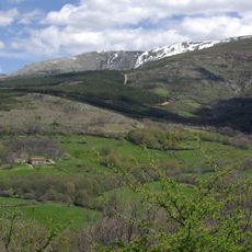
Sierra de Candelario
11.9 km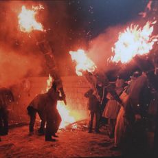
Los Escobazos
14.4 km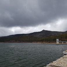
Navamuño Reservoir
12.6 km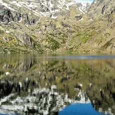
Laguna del Duque
5.5 km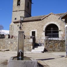
Church of Santiago Apóstol and tower
8.3 km
Conjunto histórico de Cabezuela del Valle
12 km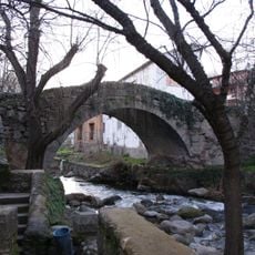
Fuente Chiquita bridge
14.4 km
Navalonguilla (munisipyo)
14 km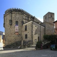
Iglesia de Nuestra Señora de la Torre, Jarandilla de la Vera
14.5 km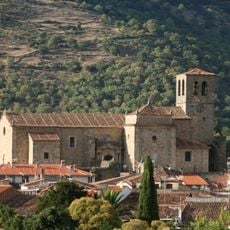
Church of Santa María
14.5 km
Biblioteca Pública Municipal de Jerte
5.9 km
Rollo de Jarandilla de la Vera
14.5 km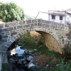
Puente Cimero
320 m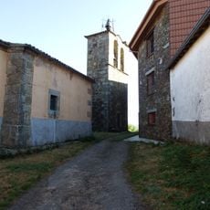
Church of Nuestra Señora de la Visitación, Puerto Castilla
6.5 km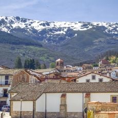
Conjunto Histórico Artístico la Villa de Candelario
13.3 km
Plaza de toros de Guijo de Santa Bárbara
11.3 km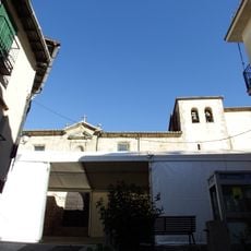
Church of the Assumption, Tornavacas
220 m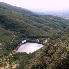
Hervás Reservoir
11.5 km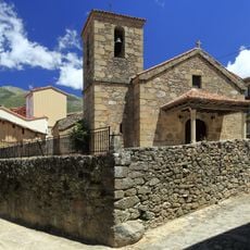
Iglesia Nuestra Señora del Socorro (Guijo)
11.4 km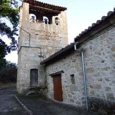
Church of Saint Sebastian, Gil-García
9.4 km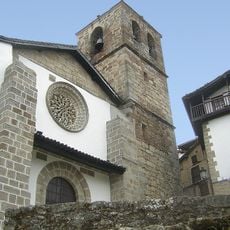
Church of Nuestra Señora de la Asunción, Candelario
13.2 kmReviews
Visited this place? Tap the stars to rate it and share your experience / photos with the community! Try now! You can cancel it anytime.
Discover hidden gems everywhere you go!
From secret cafés to breathtaking viewpoints, skip the crowded tourist spots and find places that match your style. Our app makes it easy with voice search, smart filtering, route optimization, and insider tips from travelers worldwide. Download now for the complete mobile experience.

A unique approach to discovering new places❞
— Le Figaro
All the places worth exploring❞
— France Info
A tailor-made excursion in just a few clicks❞
— 20 Minutes