
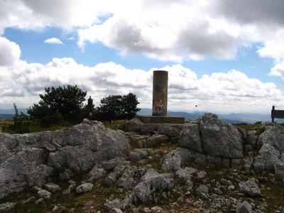
Lerón, triangulation station in Valdegovía/Gaubea, Spain
Location: Valdegovía/Gaubea
Elevation above the sea: 1,239.007 m
Height: 1.16 m
GPS coordinates: 42.90637,-3.24633
Latest update: March 11, 2025 13:58

Frias Castle
16.5 km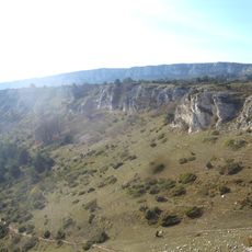
Parque Natural de Valderejo
4.3 km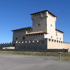
Tower of Villañañe
16.6 km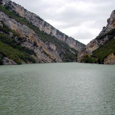
Embalse de Sobrón
18 km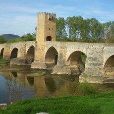
Bridge of Frías
15.7 km
Carrias
7.6 km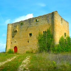
Torre de Bonifaz
13.2 km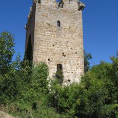
Casa Torre de Calderones y Salazares
14.3 km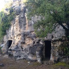
Caves of Gaubea
7.5 km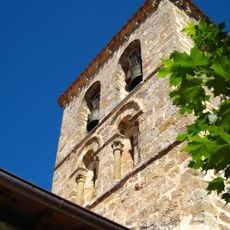
Church of San Saturnino, San Zadornil
10.3 km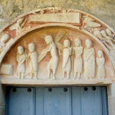
Church of San Pedro, El Vigo
18.6 km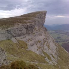
Ungino
18.4 km
Angostoko santutegia
15.9 km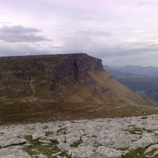
Eskutxi
18 km
Durruma eliza (Tobillas)
5.8 km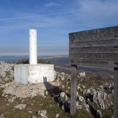
Monte Vallegrul
4.6 km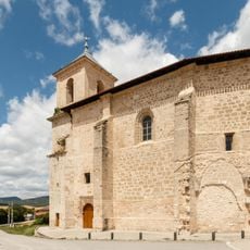
Iglesia De La Asunción (Villanañe)
16.5 km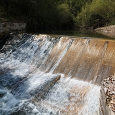
Infraestructura Hidráulica Del Molino De Villanueva De Valdegovia
13.4 km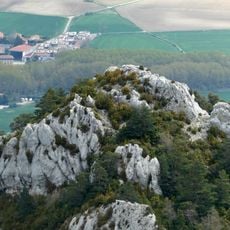
Lantaron Gaztelua
18.2 km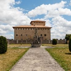
Jardín Del Conjunto Edificado De Villanañe
16.6 km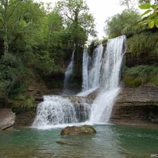
Waterfall of Peñaladros
18.8 km
Biblioteca Pública Municipal de Trespaderne
16.6 km
Church of San Vicente, Frías
16.4 km
Church of San Esteban, Ribera de Valderejo
6.3 km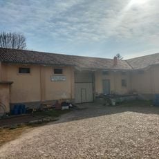
Granero de Quintana Martín Galíndez
12.9 km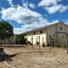
Granero de Trespaderne
16.5 km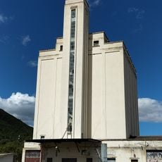
Silo de Trespaderne
17.2 km
Peña Bachicabo
17.8 kmReviews
Visited this place? Tap the stars to rate it and share your experience / photos with the community! Try now! You can cancel it anytime.
Discover hidden gems everywhere you go!
From secret cafés to breathtaking viewpoints, skip the crowded tourist spots and find places that match your style. Our app makes it easy with voice search, smart filtering, route optimization, and insider tips from travelers worldwide. Download now for the complete mobile experience.

A unique approach to discovering new places❞
— Le Figaro
All the places worth exploring❞
— France Info
A tailor-made excursion in just a few clicks❞
— 20 Minutes