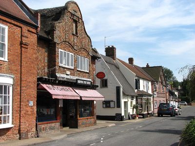
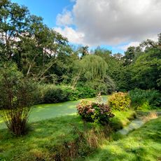
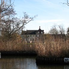
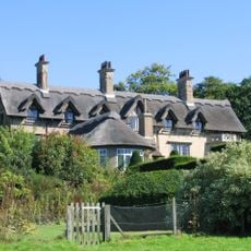
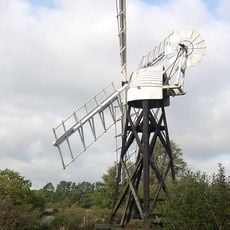
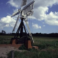
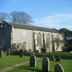
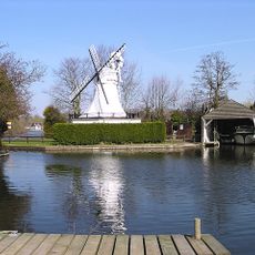
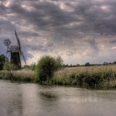
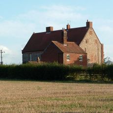
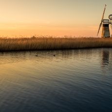
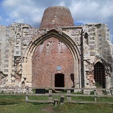
Horning, ancient village and parish in the English county of Norfolk
Location: North Norfolk
Shares border with: Neatishead
GPS coordinates: 52.70000,1.46700
Latest update: March 5, 2025 04:01
RAF Neatishead
1.6 km
RAF Air Defence Radar Museum
1.5 km
Woodbastwick Hall
1.9 km
How Hill House
3.6 km
Boardman's Windmill
3.4 km
Fairhaven Woodland and Water Garden
4.1 km
Clayrack Drainage Mill
3.4 km
Hobb's Mill
832 m
Church of St Helen
2.6 km
Church of St Mary
4.3 km
Church of St Benedict
1.2 km
Church of St Michael
4.1 km
Church of St. Peter
2.7 km
Church of St Catherine
4.6 km
Church of St Fabian and St Sebastian
2.1 km
Church of St Lawrence
4.4 km
Thurne Dyke Windpump At Tg 40031591
5.8 km
Horning War Memorial
1.2 km
Ruined Church of All Saints
3.5 km
St Benet's Abbey
4.2 km
Horning Ferry Mill
353 m
Turf Fen Windpump At Tg 36971888
3.2 km
Ludham Hall Including Attached Chapel
3.8 km
St Benets Level Windpump At Tg 39941564
5.8 km
Remains Of St Benets Abbey
4.2 km
Milestone, by E corner of "Glenhaven", opp. Church Rooms
4.6 km
Milestone, Norwich Rd, by Riverview, Johnson Street
3.2 km
Milestone, Yarmouth Rd 100yds W of jct with Fritton Rd
6.1 kmReviews
Visited this place? Tap the stars to rate it and share your experience / photos with the community! Try now! You can cancel it anytime.
Discover hidden gems everywhere you go!
From secret cafés to breathtaking viewpoints, skip the crowded tourist spots and find places that match your style. Our app makes it easy with voice search, smart filtering, route optimization, and insider tips from travelers worldwide. Download now for the complete mobile experience.
A unique approach to discovering new places❞
— Le Figaro
All the places worth exploring❞
— France Info
A tailor-made excursion in just a few clicks❞
— 20 Minutes