Enable Location

We need your location to show you interesting places around you

Discover nearby places

Find interesting locations and hidden gems around you

Precise directions

Get accurate directions and distances to places

Your location is never shared with other users. It's only used when you tap the location button.

Via Devana

Log in to your account

Start exploring — it's free

Trusted by 65,888 travelers worldwide

Continue with Google
Continue with Apple
or

We will send you a code to connect

By continuing, you accept our Terms and Conditions and our Privacy Policy

Check your inbox

We've sent a pincode in your inbox. Please enter the code below.

Discussion Reviews 1 Photos
6.1k Popularity

Via Devana, Roman road in central England.

Via Devana is an ancient Roman road in central England that ran from Colchester in the east toward Chester in the northwest, passing through Cambridge and Leicester. Like most Roman roads, it follows a largely straight alignment across the terrain.

The road was built during the Roman occupation of Britain, starting from the 1st century, and connected military forts and civilian settlements across the interior of the island. When Roman forces withdrew in the early 5th century, it gradually fell out of use as a maintained route.

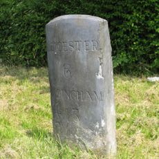
The road takes its name from Deva, the Latin name for Chester, though the name Via Devana was first coined by cartographer Charles Mason in 1808, nearly 1,800 years after the road was built. This means the Roman engineers who laid the road never knew it by that name.

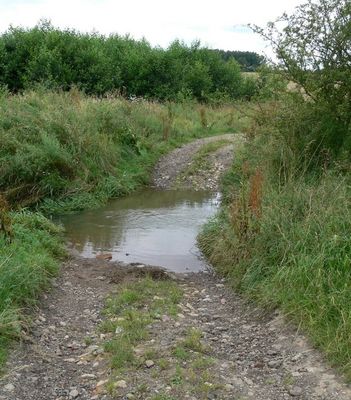
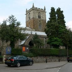
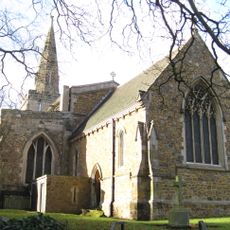
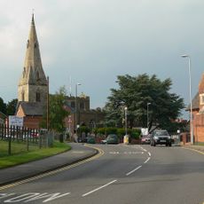
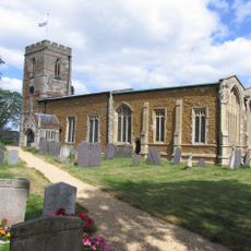
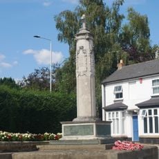
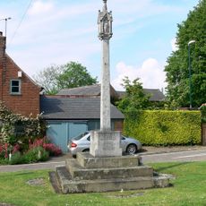
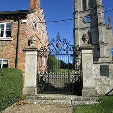
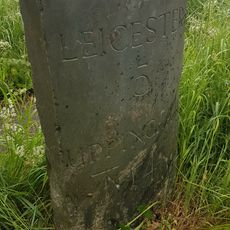
Some of the clearest surviving sections are near Medbourne and Leicester, where the original roadbed is still visible and footpaths follow the old alignment. The northern stretches are much harder to trace, so the central sections are the most rewarding to visit on foot.

In the northern part of the route, so many sections have disappeared that some historians leave them off their maps entirely, treating the road as ending further south. This means there is still no agreement on how far north the road originally went.

The community of curious travelers

AroundUs brings together thousands of curated places, local tips, and hidden gems, enriched daily by 60,000 contributors worldwide.

Start exploring
Part of
Roman Britain
GPS coordinates
52.60020,-1.03529
Latest update
March 3, 2026 22:40
Reviews
Share your experience

No review yet

Discussions
Start a discussion...

No discussion yet

« Via Devana - Roman road in central England » is provided by Around Us (aroundus.com). Images and texts are derived from Wikimedia project under a Creative Commons license. You are allowed to copy, distribute, and modify copies of this page, under the conditions set by the license, as long as this note is clearly visible.

Discover hidden gems everywhere you go!

From secret cafés to breathtaking viewpoints, skip the crowded tourist spots and find places that match your style. Our app makes it easy with voice search, smart filtering, route optimization, and insider tips from travelers worldwide. Download now for the complete mobile experience.

Around Us App Screenshot

A unique approach to discovering new places

Le Figaro

All the places worth exploring

France Info

A tailor-made excursion in just a few clicks

20 Minutes

Around Us
Travel Guide & Maps
Download

Send to your phone

QR Code
1

Open the camera app on your mobile.

2

Point at the QR code with your camera. A notification will appear.

3

Tap the notification to open the link.