
Crewe and Nantwich, former borough in Cheshire, England
Location: Cheshire
Website: http://crewe-nantwich.gov.uk
GPS coordinates: 53.09320,-2.48703
Latest update: March 2, 2025 20:43

Bentley Crewe
1.6 km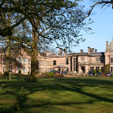
Rookery Hall
1.6 km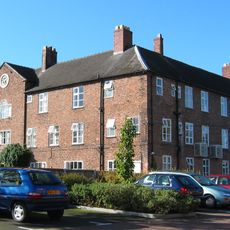
Nantwich Workhouse
2.9 km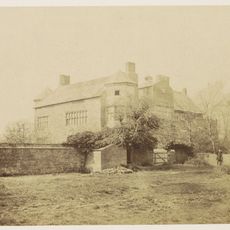
Poole Hall
2.9 km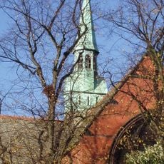
St Michael's Church, Coppenhall
3 km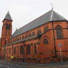
St Mary's Church, Crewe
2.7 km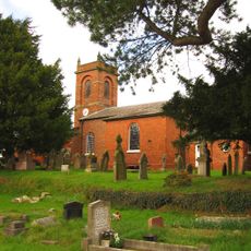
Church of St Mary the Virgin, Wistaston
1.7 km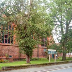
St Barnabas' Church, Crewe
1.9 km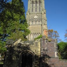
Christ Church Tower, Crewe
3.2 km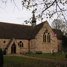
St Oswald's Church, Worleston
2.8 km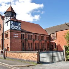
Union Street Baptist Church, Crewe
3.1 km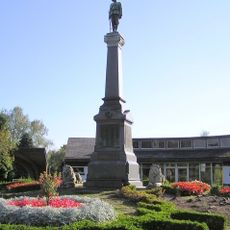
Boer War Memorial, Crewe
1.3 km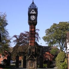
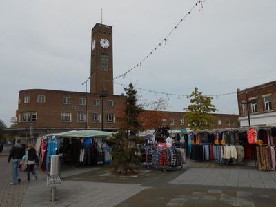
Clock Tower in Queen's Park
1.4 km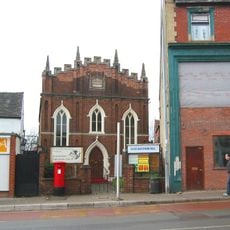
Christadelphian Hall
3 km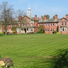
Webb Orphanage, now Webb House
1.4 km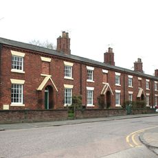
76–90A, Victoria Street
2.9 km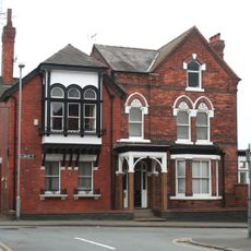
47, Delamere Street
2.8 km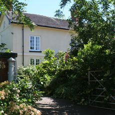
Willow Farmhouse
2.6 km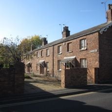
1–19, Betley Street
3 km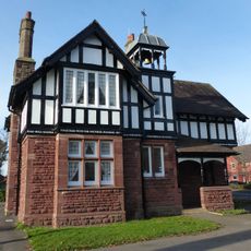
West Lodge at Queen's Park
1.4 km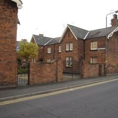
1–19, Dorfold Street
3 km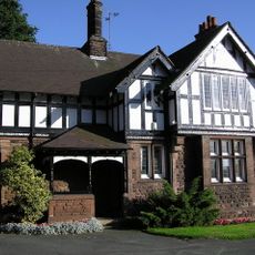
East Lodge at Queen's Park
1.4 km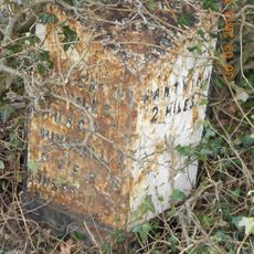
Milepost, S of Park Farm
2.1 km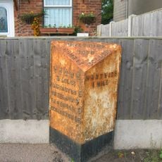
Milepost, Crewe Road; nr Cheney Brook Bridge
3 km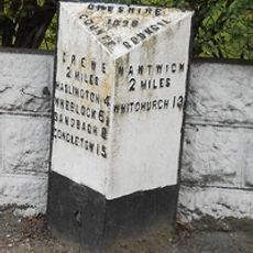
Milepost, SW of Huntsback Farm; S of Wistaton road
2.2 km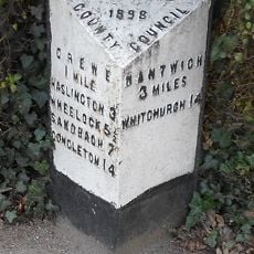
Milepost, Crewe Road; midway between Broughton Lane and Laidon Avenue jcts
2.3 km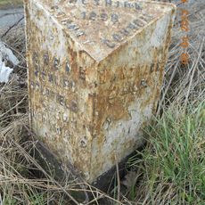
Milepost, SW of Rising Sun PH
626 m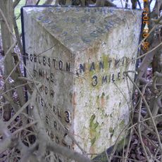
Milepost, Main Road at SJ6580656425
2.1 kmVisited this place? Tap the stars to rate it and share your experience / photos with the community! Try now! You can cancel it anytime.
Discover hidden gems everywhere you go!
From secret cafés to breathtaking viewpoints, skip the crowded tourist spots and find places that match your style. Our app makes it easy with voice search, smart filtering, route optimization, and insider tips from travelers worldwide. Download now for the complete mobile experience.

A unique approach to discovering new places❞
— Le Figaro
All the places worth exploring❞
— France Info
A tailor-made excursion in just a few clicks❞
— 20 Minutes