
A cross-ridge dyke and part of an adjoining cross-ridge dyke meeting at Juggs Road near Falmer Bottom
A cross-ridge dyke and part of an adjoining cross-ridge dyke meeting at Juggs Road near Falmer Bottom, archaeological site in Kingston near Lewes, Lewes, England, UK
Location: Kingston near Lewes
GPS coordinates: 50.84990,-0.05397
Latest update: April 17, 2025 12:24
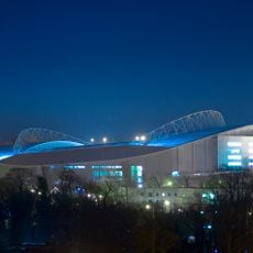
Brighton Community Stadium
2.5 km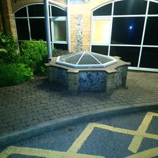
Woodingdean Water Well
2.6 km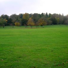
Stanmer Park
4 km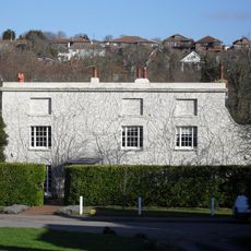
Ovingdean Grange
4 km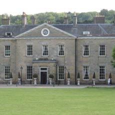
Stanmer House
4 km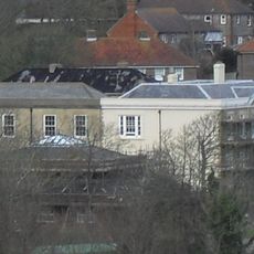
Ovingdean Hall School
3.9 km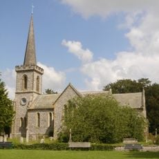
Stanmer Church
4.1 km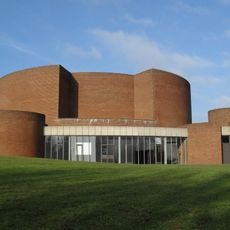
Gardner Arts Centre
3 km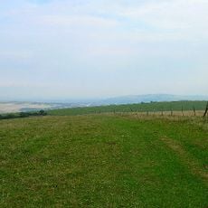
Castle Hill, Brighton
439 m
Ashcombe Mill
2.6 km
Bevendean Down
3.5 km
St Pancras Church (Kingston near Lewes)
2.2 km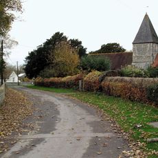
The Parish Church of St Nicholas
3.7 km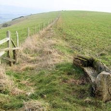
Kingston Escarpment and Iford Hill
1.3 km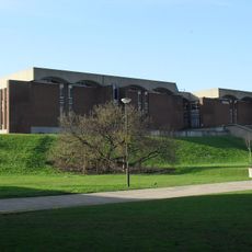
University of Sussex Library
3.1 km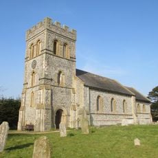
The Parish Church of St Lawrence, Falmer
2.1 km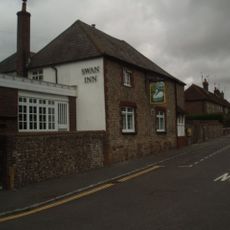
The Swan Inn
2.3 km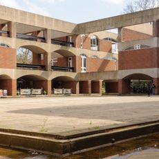
Falmer House Including Moat Within Courtyard
2.9 km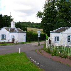
Lower Lodge (north)
3.1 km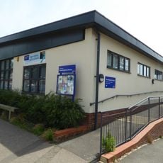
Woodingdean Library
2.3 km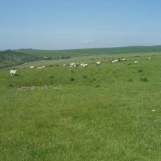
Highdole Hill, Romano-British settlement
4 km
The Home Farmhouse
4.1 km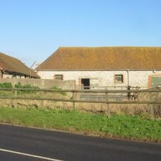
New Barn
4 km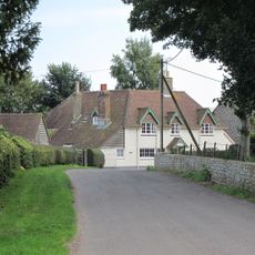
Thatched Cottages
3.8 km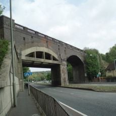
Hodshrove Viaduct
4 km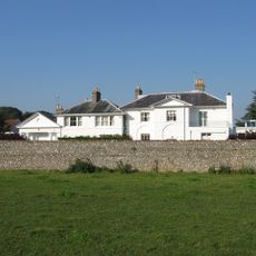
Iford Grange And Stables Adjoining To North West
3.5 km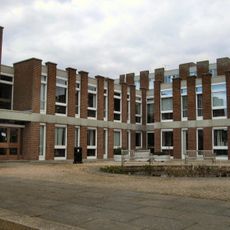
Arts A And B Including Courtyard Pool Gardner Arts Centre
3.1 km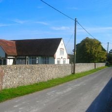
Iford Village Hall
3.6 kmReviews
Visited this place? Tap the stars to rate it and share your experience / photos with the community! Try now! You can cancel it anytime.
Discover hidden gems everywhere you go!
From secret cafés to breathtaking viewpoints, skip the crowded tourist spots and find places that match your style. Our app makes it easy with voice search, smart filtering, route optimization, and insider tips from travelers worldwide. Download now for the complete mobile experience.

A unique approach to discovering new places❞
— Le Figaro
All the places worth exploring❞
— France Info
A tailor-made excursion in just a few clicks❞
— 20 Minutes