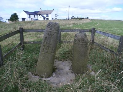
The Bow Stones Anglian cross shafts, Stone cross in Lyme Handley, England.
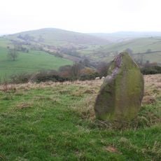
The Bow Stones are two cross shafts from the 10th century standing beside an ancient ridgeway between Disley and Macclesfield, overlooking Lyme Park and surrounding lands. The western shaft appears more slender and tapered, while the eastern one stands more robust, both displaying carved stonework typical of Anglo-Saxon craftsmanship.
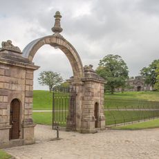
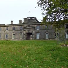
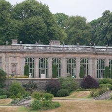
These cross shafts were created during the 10th century as religious and cultural markers along medieval travel routes. In the 16th century, Sir Piers Legh of Lyme Hall relocated them to their present location, with the original cross heads moved to Lyme Hall for safekeeping.
The stone shafts display intricate interlaced carvings from the 10th century, reflecting the craftsmanship and religious practices of Anglo-Saxon communities. They remain visible reminders of how these carved markers once served as gathering points and wayfinding references in medieval daily life.
These monuments sit along an old pathway in rural countryside and are accessible on foot, though parking and facilities are limited nearby. Bring appropriate clothing for changing weather conditions and visit during daylight hours when the surroundings are most visible.
The original cross heads were separated from the shafts in the 16th century and now reside in the collection at nearby Lyme Hall, a country house. This makes the stones on site fragmentary witnesses to a reshaping that altered their original purpose.
The community of curious travelers
AroundUs brings together thousands of curated places, local tips, and hidden gems, enriched daily by 60,000 contributors worldwide.