
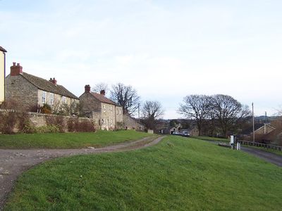
Thornton Steward, village in North Yorkshire, England, UK
Location: Richmondshire
Website: https://thorntonsteward.org.uk
GPS coordinates: 54.28066,-1.72753
Latest update: March 6, 2025 13:44
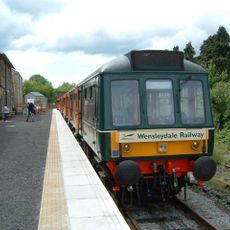
Wensleydale Railway
1.9 km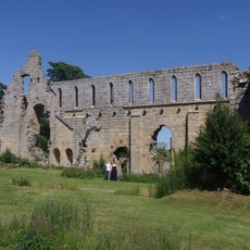
Jervaulx Abbey
1.7 km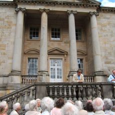
Constable Burton Hall
4.2 km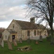
Church of St Andrew
3.2 km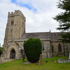
Church of St Michael
4.5 km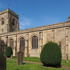
Church of St John the Evangelist
3.4 km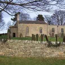
Church of St Oswald
850 m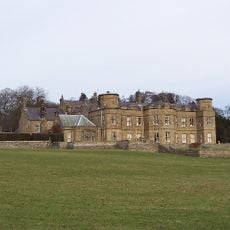
Danby Hall
2 km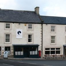
The White Swan
5.1 km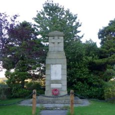
East Witton War Memorial
3.4 km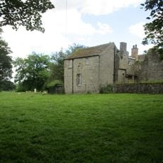
Jervaulx Abbey Gatehouse
1.8 km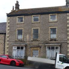
Kent House
5.1 km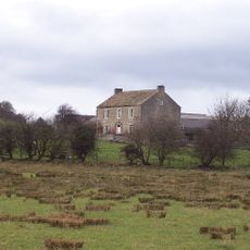
Lane House
1.9 km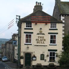
The Black Bull
5 km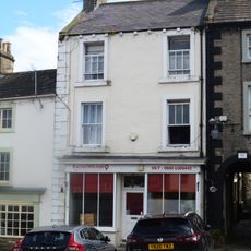
The Nosebag
5.1 km
Clarendon House And Railings
5.1 km
Rosemount
5.1 km
Nichol's Stone
3.8 km
Guidestone, At X rds East Witton/Leyburn/Finghall/Spennithorn roads (two UC roads), 2.25 miles E of Leyburn
3.9 km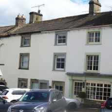
House Occupied By Mr And Mrs Montgomery, House Occupied By Mr Brown, Bow Cottage And Screen Wall
5.1 km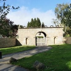
Gatehouse Approximately 80 Metres To South Of Jervaulx Hall
1.7 km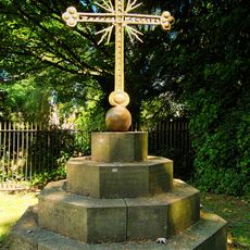
Sebastopol Cross And Base, Approximately 3 Metres To East Of Vestry Of Church Of St Micheal
4.4 km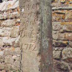
Guide Stone Opposite Eagle Lodge Gates
2 km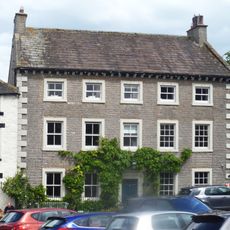
Jasmine House And Ferndale House And Railings
5 km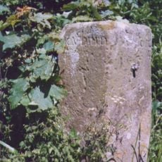
Guidestone, Low Hutton, E of jct with Hutton Hang and Hutton Hill
1.7 km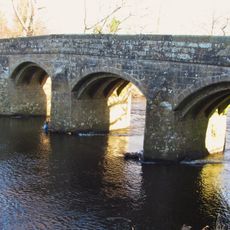
Kilgram Bridge
1.8 km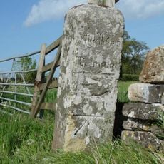
Guidestone, at X rds with UC road nr Stoop House Farm
4.4 km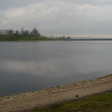
Thornton Steward Reservoir
879 mReviews
Visited this place? Tap the stars to rate it and share your experience / photos with the community! Try now! You can cancel it anytime.
Discover hidden gems everywhere you go!
From secret cafés to breathtaking viewpoints, skip the crowded tourist spots and find places that match your style. Our app makes it easy with voice search, smart filtering, route optimization, and insider tips from travelers worldwide. Download now for the complete mobile experience.

A unique approach to discovering new places❞
— Le Figaro
All the places worth exploring❞
— France Info
A tailor-made excursion in just a few clicks❞
— 20 Minutes