Wet Moor, Protected wetland in Somerset, England
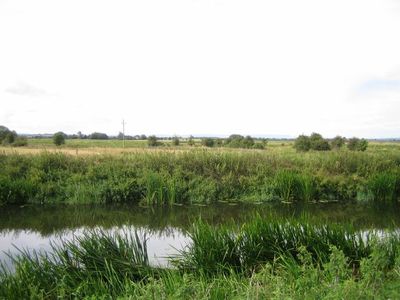
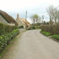
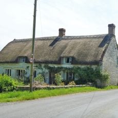
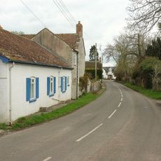
Wet Moor is a protected wetland in Somerset covering roughly 490 hectares of grazing marsh with an intricate network of drainage ditches and channels. The flat landscape consists of open grasslands, watercourses, and expanses typical of the Somerset Levels and Moors region.
The Parrett and Yeo rivers shaped this low-lying landscape over centuries, leading to the development of an intricate water management system through embankments and channels. This system was designed to both prevent flooding and support agriculture in an area naturally prone to water overflow.
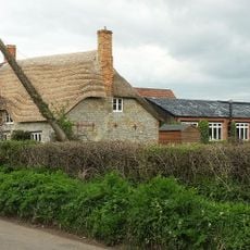
Local farming families have shaped this land through grazing practices that keep the grasslands open and support the wildlife that depends on them.
Visitors should expect wet ground and open terrain with little shelter from weather, so appropriate clothing and footwear are important. Some areas have restricted access to protect wildlife, so checking conditions in advance helps plan the visit better.
During heavy rainfall the rivers overflow their banks and transform the moorland into a temporary water storage system across the entire landscape. These seasonal floods are part of a natural cycle that has shaped the area for centuries and makes it especially valuable for waterfowl and wetland birds.
The community of curious travelers
AroundUs brings together thousands of curated places, local tips, and hidden gems, enriched daily by 60,000 contributors worldwide.