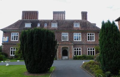
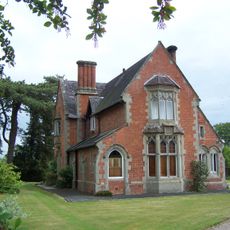
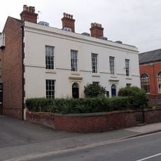
Albrighton Hall, Grade II listed manor house in Albrighton, England.
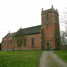
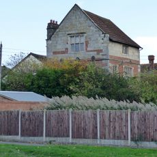
Albrighton Hall is a Grade II* listed manor house from the 17th century, set in the rural parish of Pimhill in Shropshire, England. The building is a red-brick country house with sash windows and a symmetrical front, surrounded by open grounds and mature trees.
The Ireland family built the hall in 1630 and owned it for several generations before it passed to the Crown in 1804. During the 20th century the building was adapted for public use, which brought significant changes to its interior layout.
Albrighton Hall now serves as a training and conference center run by Shropshire Council, so the building is in regular use rather than preserved as a museum piece. Visitors who come for events or courses move through rooms that still carry the proportions and feel of a country house.
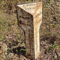
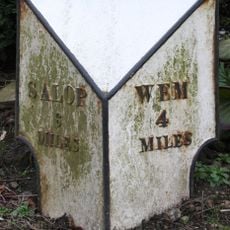
The hall is set in a rural parish, so arriving by car is the most straightforward option. Because the building operates as an active training and conference center, it is worth checking whether the site is open to general visitors before making the trip.
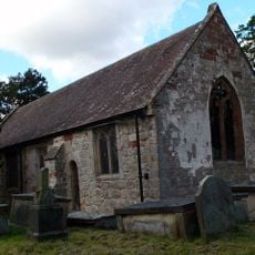
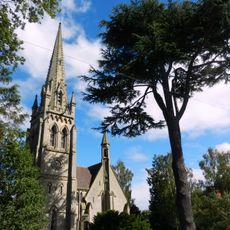
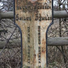
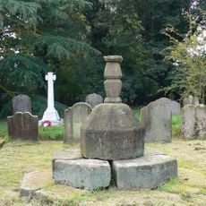
The small parish church nearby contains a Norman font carved with medieval patterns of chevrons and horseshoes, predating the hall by several centuries. This single object points to a much longer history of settlement in this corner of Shropshire than the manor alone would suggest.
The community of curious travelers
AroundUs brings together thousands of curated places, local tips, and hidden gems, enriched daily by 60,000 contributors worldwide.