Lockinge, civil parish in Vale of White Horse, Oxfordshire, England
Location: Vale of White Horse
Shares border with: Wantage, Ardington, East Hanney, Grove
GPS coordinates: 51.58200,-1.38400
Latest update: May 1, 2025 21:42
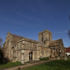
Church of St Peter and St Paul
3.2 km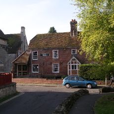
Vale and Downland Museum
3.1 km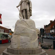
Statue of Alfred the Great
3 km
Lockinge Estate
933 m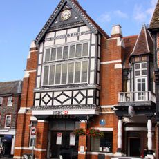
Old Town Hall, Wantage
3.1 km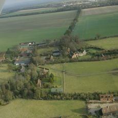
Ginge Manor
2.1 km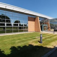
Williams F1 Conference Centre 🏁
4.6 km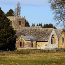
Church of All Saints
42 m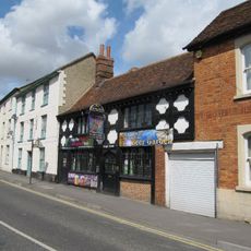
The Kings Arms Public House
2.8 km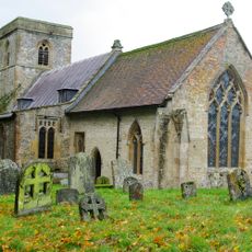
Church of the Holy Trinity
2.2 km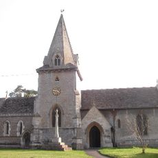
Church of the Holy Trinity
1.2 km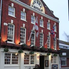
The Bear Hotel
3.1 km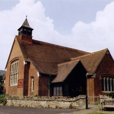
Holy Trinity Church
2.1 km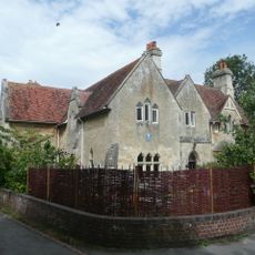
The Vicarage
3.2 km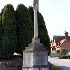
Lockinge War Memorial
406 m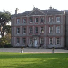
Ardington House
1.2 km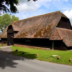
Lain's Barn
1.9 km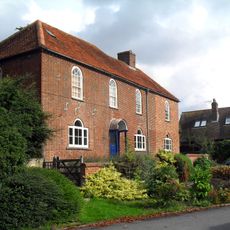
Parsonage Farmhouse
2.1 km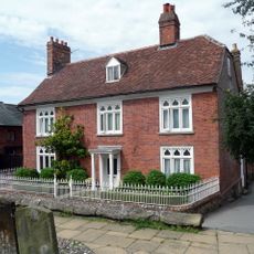
Number 2 and attached wall
3.2 km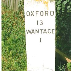
Milestone At Su 4012 8943
3.5 km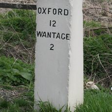
Milestone At Su 4075 9074
4.1 km
Grim's Ditch; section 650yds (590m) long NW of Betterton Down
2.7 km
32 and 33, Market Place
3.1 km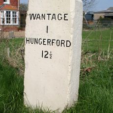
Milestone South Of Manor Road Farm At Ngr Su39738642
3.1 km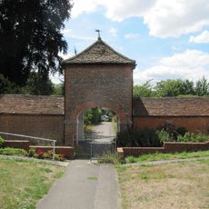
Stabling At Stirlings (Demolished)
2.8 km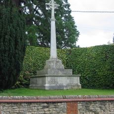
Ardington War Memorial
1.2 km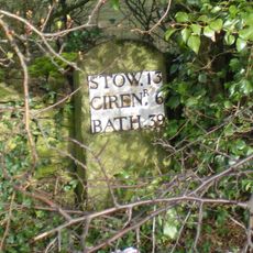
Milestone, Reading Road; W of the Hare PH
2.4 km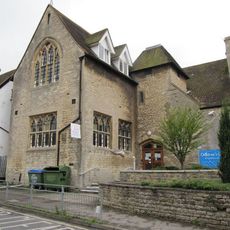
Parish Of Wantage Church Infants School
3.1 kmVisited this place? Tap the stars to rate it and share your experience / photos with the community! Try now! You can cancel it anytime.
Discover hidden gems everywhere you go!
From secret cafés to breathtaking viewpoints, skip the crowded tourist spots and find places that match your style. Our app makes it easy with voice search, smart filtering, route optimization, and insider tips from travelers worldwide. Download now for the complete mobile experience.

A unique approach to discovering new places❞
— Le Figaro
All the places worth exploring❞
— France Info
A tailor-made excursion in just a few clicks❞
— 20 Minutes