Iâl, Medieval commote in Denbighshire, United Kingdom
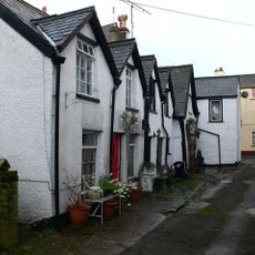
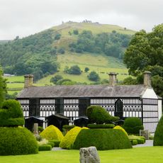
Iâl was a medieval commote that extended across parts of Maelor and included multiple settlements throughout the landscape. The territory was fortified with defensive structures to protect against incursions.
When the Kingdom of Powys was divided in 1160, Iâl fell to Powys Fadog under the royal house of Mathrafal. This division shaped the political structure of the region for centuries to come.
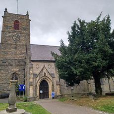
The settlement of Llanarmon-yn-Iâl served as a religious center with a church dedicated to Saint Germanus. This location reflected the spiritual importance of the region to medieval communities.
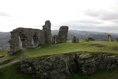
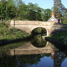
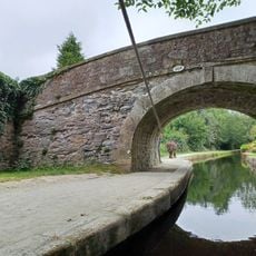
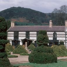
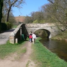
The location sits between England and Wales with remains of fortifications such as Tomen y Faerdre castle to explore. The hilly landscape means walking to the historical sites is part of experiencing the area.
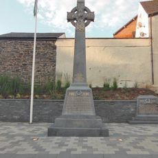
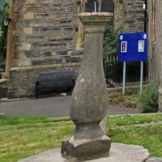
The Pillar of Eliseg, erected in the 9th century by King Cyngen ap Cadell, documents the lineage of Powys rulers. This monument stands today and tells the story of an ancient dynasty through carved inscriptions.
Location: Denbighshire
Part of: Kingdom of Powys
GPS coordinates: 52.97920,-3.15950
Latest update: December 12, 2025 07:59
Castell Dinas Brân
5 m
Plas Newydd
1.4 km
Llangollen Bridge
1.2 km
St Collen's Church
1.2 km
Llangollen Motor Museum
1.7 km
Town Hall
1.3 km
Llangollen Canal Museum building
1.1 km
Llangollen Methodist Church
1.4 km
Royal Hotel
1.2 km
Gales Bar
1.2 km
Dee Mill, Dee Lane
1.2 km
Former Rehoboth Chapel
1.4 km
No.2 Chapel Street Square
1.3 km
Royal International Pavilion
1.3 km
Llangollen Library
1.3 km
War Memorial, Castle Street
1.2 km
Canal Bridge No.43
983 m
Canal Bridge No.46 at Penddol,Abbey Road, A542 (E.Side) Dinbren
1.2 km
Monument to The Ladies of Llangollen and Their Housekeeper In The Churchyard of St. Collen's Parish Church
1.3 km
Llangollen Museum
1.2 km
Plas Newydd House Museum & Gardens
1.4 km
Pentrefelin Bridge, Llangollen Canal Bridge No 48
1.6 km
Dinbren Hall,Dinbren
954 m
Sundial In The Churchyard of St.Collen's Parish Church,Church Street
1.3 km
Chester High Cross Stem In The Grounds of Plas Newydd,Butler Hill
1.4 km
Pillar Box outside the Town Hall
1.2 km
No.20 Bridge Street (Wynnstay Arms P.H.)
1.2 km
Llanddyn Hall
617 mVisited this place? Tap the stars to rate it and share your experience / photos with the community! Try now! You can cancel it anytime.
Discover hidden gems everywhere you go!
From secret cafés to breathtaking viewpoints, skip the crowded tourist spots and find places that match your style. Our app makes it easy with voice search, smart filtering, route optimization, and insider tips from travelers worldwide. Download now for the complete mobile experience.
A unique approach to discovering new places❞
— Le Figaro
All the places worth exploring❞
— France Info
A tailor-made excursion in just a few clicks❞
— 20 Minutes