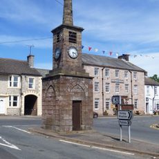
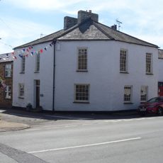
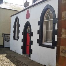
Verterae, Roman fort in Brough, England.
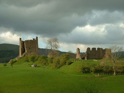
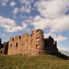
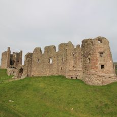
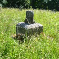
Verterae is a Roman fort situated on a hillside above Swindale Beck, featuring a rectangular layout with stone defensive walls and protective ditches encircling the compound. The visible remains include foundations of barracks buildings, command structures, and fortification elements that once secured this remote frontier position.
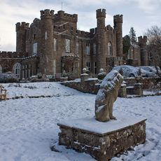
The fort was established in the 1st century AD and controlled a strategic northern crossing for more than three centuries before Roman forces withdrew around 410 AD. Medieval settlers later reoccupied the hilltop and reused portions of the Roman stonework when building Brough Castle in the 11th century.
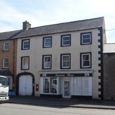
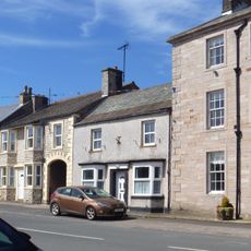
The settlement served as a vital military post where soldiers and local communities coexisted, their daily routines shaped by the demands of frontier life. The layered history of occupation reveals how different groups used and adapted the same hilltop location over centuries.
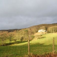
The site sits on a hillside with expansive views across the surrounding landscape but requires effort to reach and explore thoroughly. Wear suitable walking shoes as the ground is uneven and becomes slippery after rainfall.
Many visitors overlook the fact that Norman builders literally stacked their medieval castle stones directly atop the Roman fort foundations. This resourceful reuse demonstrates how later inhabitants recognized the inherent strength of an already-fortified location.
The community of curious travelers
AroundUs brings together thousands of curated places, local tips, and hidden gems, enriched daily by 60,000 contributors worldwide.