
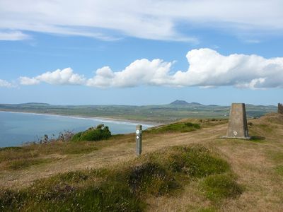
Mynydd Cilan, hill (117m) in Gwynedd
Location: Gwynedd
Elevation above the sea: 117 m
GPS coordinates: 52.78806,-4.53892
Latest update: March 4, 2025 08:13

Plas yn Rhiw
6.6 km
Conion
7.2 km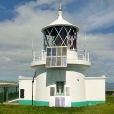
St Tudwal’s Lighthouse
4.7 km
Capel Newydd
6.7 km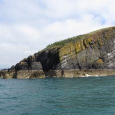
St Tudwal's Island East
5.4 km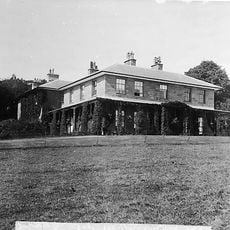
Nanhoron
7.3 km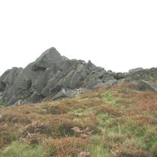
Creigiau Gwineu
6.9 km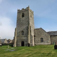
St Engan's Church
2.9 km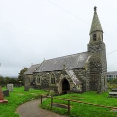
Church of St Beuno
7.8 km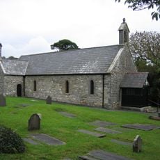
St Cian's Church
4.8 km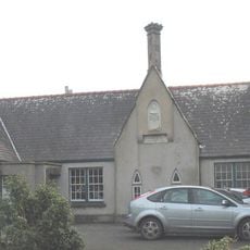
Old School to S of St Beuno's Church against churchyard
7.8 km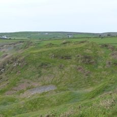
Castell Pared Mawr
1.6 km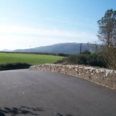
Pont Rhyd-goch
7.2 km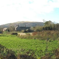
Bridge at Trewen
6.8 km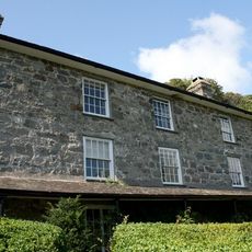
Plas yn Rhiw
6.6 km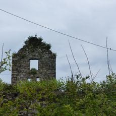
Engine-house Tower by Tower Cottage
3.9 km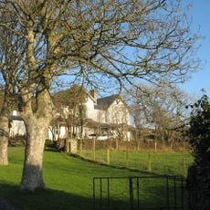
The Old Rectory
3.2 km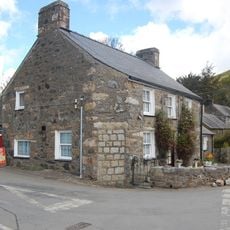
Siop Llangian
4.8 km
Talygraig Welsh Baptist Chapel
4.9 km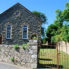
Llangian Chapel
4.7 km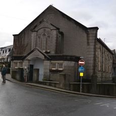
Abersoch Welsh Independent Chapel
4.7 km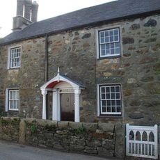
Ty'n Llan
4.8 km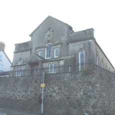
Capel y Graig
4.5 km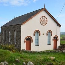
Horeb Welsh Independent Chapel
7 km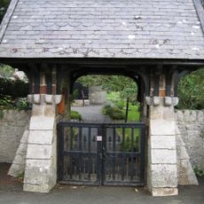
Lychgate to Church of St Cian
4.8 km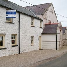
Cilan Chapel
1.6 km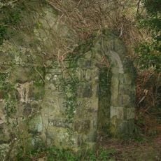
Gallt-Traeth Baptist Chapel
7.6 km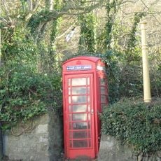
Telephone Call-box (01758 712919)
2.9 kmReviews
Visited this place? Tap the stars to rate it and share your experience / photos with the community! Try now! You can cancel it anytime.
Discover hidden gems everywhere you go!
From secret cafés to breathtaking viewpoints, skip the crowded tourist spots and find places that match your style. Our app makes it easy with voice search, smart filtering, route optimization, and insider tips from travelers worldwide. Download now for the complete mobile experience.

A unique approach to discovering new places❞
— Le Figaro
All the places worth exploring❞
— France Info
A tailor-made excursion in just a few clicks❞
— 20 Minutes