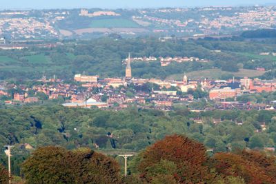
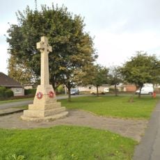
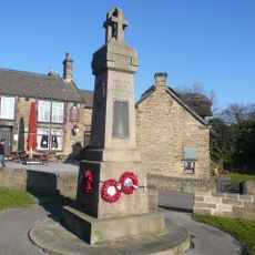
Chesterfield, Market town in Derbyshire, England.
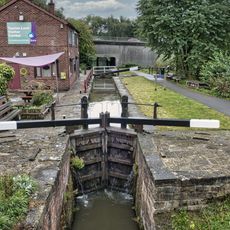
Chesterfield is a market town in Derbyshire positioned where the Rivers Rother and Hipper meet, creating a natural hub for settlement and commerce. The town spreads across Derbyshire's landscape with distinct residential and business zones connected by these waterways.
The town received a market charter from King John in 1204, granting it trading privileges equal to nearby major cities. This royal recognition established it as a significant commercial center that would shape the region for centuries.
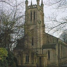
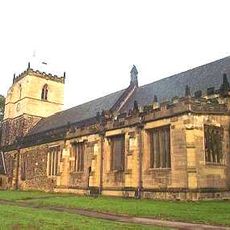
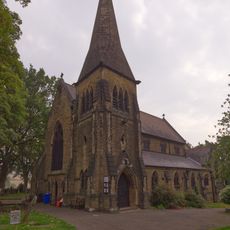
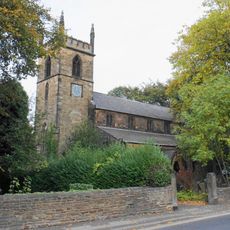
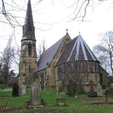
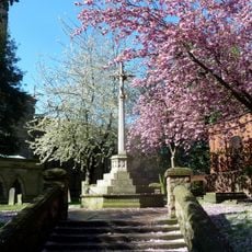
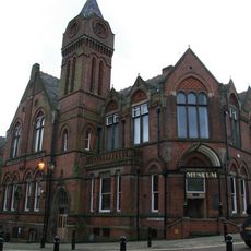
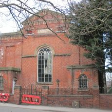
The Church of St Mary and All Saints dominates the skyline with its twisted spire, a distinctive feature that locals and visitors immediately recognize. This architectural landmark shapes how people perceive and navigate the town center.
The central market operates three days weekly with numerous stalls selling local produce, crafts, and goods in an open-air setting. The marketplace is most active on market days when it draws residents and visitors together.
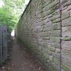
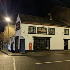
The town maintains a medieval street pattern with narrow passages called The Shambles that link different areas of the center. These tight alleyways remain popular routes for exploring and discovering hidden details throughout the heart of town.
Location: Derbyshire
Inception: April 1, 1974
Shares border with: Bolsover, North East Derbyshire
Website: https://chesterfield.gov.uk
GPS coordinates: 53.25544,-1.39120
Latest update: December 20, 2025 12:14
Church of St Mary and All Saints, Chesterfield
3.1 km
Barrow Hill Engine Shed
2.2 km
Tapton House
1.9 km
Holy Trinity Church, Chesterfield
3 km
Chesterfield Museum and Art Gallery
3 km
Christ Church, Chesterfield
2.5 km
Church of St John the Baptist
3.1 km
Parish Church of St Bartholomew
3 km
Parish Church of St Michael and All Angels
292 m
Church of St Peter
2.4 km
War Memorial in Churchyard to North East of St Mary's Church
3 km
Stephenson Memorial Hall
3 km
Revolution House
2.8 km
Winding Wheel
3 km
Whittington Moor War Memorial
2.6 km
Old Whittington War Memorial, Chesterfield
2.8 km
The Court House (Including Range Of Adjoining Buildings)
2.3 km
Chesterfield Canal, Tapton Hill Bridge Over Chesterfield Canal (First Bridge To North Of Canal Junction With River Rother)
2.1 km
Tapton Lock
2 km
Boundary Wall Extending Along Eastern Boundary Of Footpath Between Number 65 And The Churchyard Of St Bartholomew's Church
2.9 km
Physiotherpay Department Of Royal Hospital
2.9 km
Raised Pavement To South Of Numbers 82 And 84
3 km
Calow War Memorial
2.4 km
Mounting Block Outside Entrance Gates To Tapton House
2 km
Ashton Lodge
2.9 km
Gatepiers At Tapton House
2 km
Holywell Cross Post Office
3 km
Curbar, Calver and Froggatt War Memorial
2.6 kmVisited this place? Tap the stars to rate it and share your experience / photos with the community! Try now! You can cancel it anytime.
Discover hidden gems everywhere you go!
From secret cafés to breathtaking viewpoints, skip the crowded tourist spots and find places that match your style. Our app makes it easy with voice search, smart filtering, route optimization, and insider tips from travelers worldwide. Download now for the complete mobile experience.
A unique approach to discovering new places❞
— Le Figaro
All the places worth exploring❞
— France Info
A tailor-made excursion in just a few clicks❞
— 20 Minutes