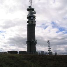
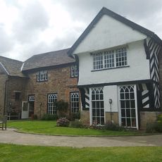
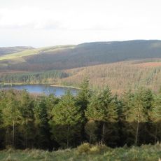
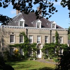
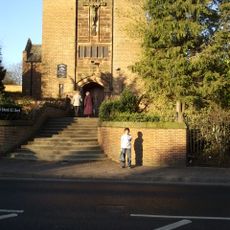
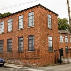
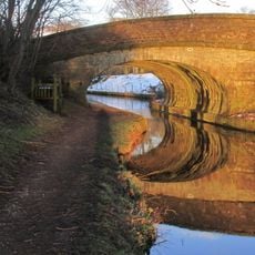
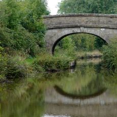
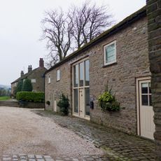
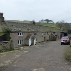
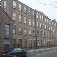
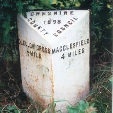
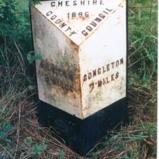
Sutton, civil parish in Cheshire East, Cheshire, England
Location: Cheshire East
Shares border with: Wincle, Macclesfield Forest and Wildboarclough, Gawsworth, Bosley
GPS coordinates: 53.23800,-2.10600
Latest update: April 6, 2025 23:37
Sutton Common BT Tower
3.6 km
Sutton Hall, Sutton Lane Ends
539 m
Trentabank Reservoir
3.2 km
Langley Hall, Cheshire
896 m
St Edward The Confessor R C Church
1.5 km
Park Mill
2.1 km
Canal Bridge No 44 On The Macclesfield Canal
731 m
Macclesfield canal bridge number 50 at SJ98206864
3.2 km
Gurnett Aqueduct
752 m
Hollins Farm
1.4 km
Macclesfield Canal, Bridge Number 43 At Sj 924 719
905 m
Boundary Stone At Junction Of Wincle And Sutton Civil Parishes Ngr 9542 6786
4.1 km
Macclesfield Canal, Bridge Number 41 At Richmond Hill
1.7 km
Barn at Hollins Farm
1.4 km
Ridge Hall Farmhouse, Ridge Hill
1.2 km
Canal Bridge No 45
1.4 km
Outbuildings at Ridge Hall Farm
1.2 km
Fern Lee Farmhouse
2.3 km
Macclesfield Canal, milestone at SJ 9151 6980
2.1 km
Macclesfield Canal Milestone, South of Bridge Number 43
890 m
Pott Lords Farmhouse
2.7 km
Foxbank
1.7 km
Macclesfield Canal, Milestone At SJ91166861
3.2 km
Wayside cross 500m north of Sutton End Farm
3.3 km
Byrons Mill
1.6 km
Albion Mill
1.6 km
Milepost, S of Hollinset Farm
3.4 km
Milepost, Cluelow Cross
4.3 kmVisited this place? Tap the stars to rate it and share your experience / photos with the community! Try now! You can cancel it anytime.
Discover hidden gems everywhere you go!
From secret cafés to breathtaking viewpoints, skip the crowded tourist spots and find places that match your style. Our app makes it easy with voice search, smart filtering, route optimization, and insider tips from travelers worldwide. Download now for the complete mobile experience.
A unique approach to discovering new places❞
— Le Figaro
All the places worth exploring❞
— France Info
A tailor-made excursion in just a few clicks❞
— 20 Minutes