Chest opened
+${chestReward.xp} XP
Explorer
NOUVEAU ×${chestReward.collectible.quantity}
tapez pour fermer
Chest locked

Open chests in the app

Around Us is built for your phone — chests unlock when you walk, explore and capture nearby places.

Enable Location

We need your location to show you interesting places around you

Discover nearby places

Find interesting locations and hidden gems around you

Precise directions

Get accurate directions and distances to places

Your location is never shared with other users. It's only used when you tap the location button.

Bolsover Urban District

Log in to your account

Start exploring — it's free

Trusted by 73,007 travelers worldwide

Continue with Google
Continue with Apple
or

We will send you a code to connect

By continuing, you accept our Terms and Conditions and our Privacy Policy

Check your inbox

We've sent a pincode in your inbox. Please enter the code below.

Discussion Reviews 1 Photos
500+ Popularity

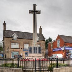
Bolsover Urban District, Former urban district in Derbyshire, England

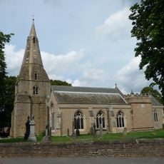
Bolsover Urban District was a former administrative area in Derbyshire, England, covering the town of Bolsover and nearby communities. It had its own local council responsible for managing public services and local development across the area.

Bolsover Urban District was created in 1894 as part of a reform that reorganized local government across England. It was abolished in 1974, when a wider restructuring of local administration merged it into a larger district that also covered surrounding rural areas.

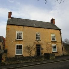
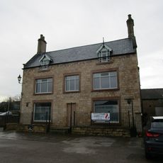
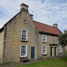
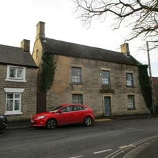
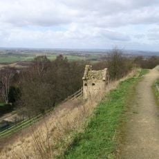
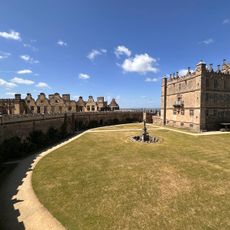
The area of the former district is accessible through the town of Bolsover, which is well connected to the wider Derbyshire region by road. Local archives and old council buildings can offer a clearer picture of what this administrative area once looked like and how it functioned.

Although Bolsover Urban District ceased to exist in 1974, many of the roads and neighborhood layouts in the town still follow the planning decisions made during the district's active years. Walking through the area, it is possible to read the town's structure as a kind of map of its administrative past.

The community of curious travelers

AroundUs brings together thousands of curated places, local tips, and hidden gems, enriched daily by 60,000 contributors worldwide.

Start exploring
Location
Address
Bolsover, Chesterfield S44, UK
GPS coordinates
53.23040,-1.28750
Latest update
April 18, 2026 16:26
Around this place
Church of St Mary and St Lawrence, Bolsover
United Kingdom

Church of St Mary and St Lawrence, Bolsover

372 m
Bolsover Cundy House
United Kingdom

Bolsover Cundy House

617 m
Bolsover Castle
United Kingdom

Bolsover Castle

575 m
2-4, Church Street
United Kingdom

2-4, Church Street

329 m
Former Presbyterian Chapel
United Kingdom

Former Presbyterian Chapel

435 m
Bolsover War Memorial
United Kingdom

Bolsover War Memorial

351 m
United Kingdom

Lime Kiln Fields Mill

810 m
United Kingdom

Medieval town defences, 183m south east of church of St Mary and St Lawrence, and 335m north east of Bolsover Castle

225 m
United Kingdom

Numbers 99-113 Including The Attached And Associated Back Yard Walls

1.1 km
St Mary's House  The School House
United Kingdom

St Mary's House The School House

514 m
39, High Street
United Kingdom

39, High Street

441 m
United Kingdom

Numbers 83-97 Including The Attached And Associated Back Yard Walls

1 km
United Kingdom

Chimney At Lime Kiln Fields Mill

816 m
United Kingdom

42, 42A, 44 And 46, Market Place

351 m
United Kingdom

32 And 36, Town End

213 m
31, Market Place
United Kingdom

31, Market Place

376 m
United Kingdom

28, Market Place

298 m
15-19, Cotton Street
United Kingdom

15-19, Cotton Street

360 m
49, High Street
United Kingdom

49, High Street

434 m
Conduit House to South East of St Bernadette's Church
United Kingdom

Conduit House to South East of St Bernadette's Church

481 m
United Kingdom

Pigeoncote To Rear Of Number 39

451 m
Four watchtowers SW of town
United Kingdom

Four watchtowers SW of town

506 m
United Kingdom

Conduit House

632 m
United Kingdom

Conduit House to rear of Number 85

532 m
United Kingdom

40, Market Place

341 m
United Kingdom

Numbers 69-81 Including The Attached And Associated Back Yard Walls

1 km
United Kingdom

Conduit House

526 m
United Kingdom

Work of art, sculpture

604 m
Show the full map
Reviews
Share your experience

No review yet

Discussions
Start a discussion...

No discussion yet

« Bolsover Urban District - Former urban district in Derbyshire, England » is provided by Around Us (aroundus.com). Images and texts are derived from Wikimedia project under a Creative Commons license. You are allowed to copy, distribute, and modify copies of this page, under the conditions set by the license, as long as this note is clearly visible.

Discover hidden gems everywhere you go!

From secret cafés to breathtaking viewpoints, skip the crowded tourist spots and find places that match your style. Our app makes it easy with voice search, smart filtering, route optimization, and insider tips from travelers worldwide. Download now for the complete mobile experience.

Around Us App Screenshot

A unique approach to discovering new places

Le Figaro

All the places worth exploring

France Info

A tailor-made excursion in just a few clicks

20 Minutes

Around Us
Travel Guide & Maps
Download

Send to your phone

QR Code
1

Open the camera app on your mobile.

2

Point at the QR code with your camera. A notification will appear.

3

Tap the notification to open the link.