Little Ashfold, building in Ansty and Staplefield, Mid Sussex, West Sussex, UK
Location: Ansty and Staplefield
GPS coordinates: 51.03368,-0.18040
Latest update: November 17, 2025 13:41
Tyes Place
1 km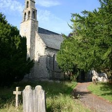
Church of St Mark
583 m
The Jolly Tanners Public House
794 m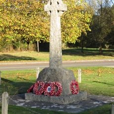
Staplefield War Memorial
526 m
Rock Cottage
2 km
Cleaver's Farmhouse
1.6 km
Stanbridges Farmhouse
957 m
Slaugham Place (remains of)
1.7 km
The Moat House
1.7 km
Great Thorndean Farmhouse With Granary Adjoining
2 km
Chiffley Grange
453 m
Combers
1.7 km
Whitehouse Farm Cottage
1.4 km
Slough Place
1.8 km
Little Tyes
835 m
Staplefield School
638 m
Yew Tree
844 m
Whitehouse Farmhouse
1.5 km
North Hall Cottage
889 m
Whitehouse Cottage
1.3 km
Barn To The North West Of North Hall
780 m
Bigges Farmhouse
1.4 km
Barn To The North West Of Bigges Farm
1.4 km
North Hall
769 m
Dillion's Farmhouse
1.8 km
Bosworths
2 km
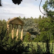
The Ruins Of Old Slaugham Place In The Grounds Of Slaugham Manor
1.7 km
Waterfall
1.9 kmReviews
Visited this place? Tap the stars to rate it and share your experience / photos with the community! Try now! You can cancel it anytime.
Discover hidden gems everywhere you go!
From secret cafés to breathtaking viewpoints, skip the crowded tourist spots and find places that match your style. Our app makes it easy with voice search, smart filtering, route optimization, and insider tips from travelers worldwide. Download now for the complete mobile experience.

A unique approach to discovering new places❞
— Le Figaro
All the places worth exploring❞
— France Info
A tailor-made excursion in just a few clicks❞
— 20 Minutes