
Staplefield School, school building in Ansty and Staplefield, Mid Sussex, West Sussex, UK
Location: Ansty and Staplefield
GPS coordinates: 51.03930,-0.17861
Latest update: April 11, 2025 12:15
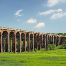
Ouse Valley Viaduct
4.5 km
Nymans
1.8 km
Brantridge Park
2.3 km
Ockenden Manor
4.4 km
Wykehurst Place
4.3 km
Borde Hill Garden
5 km
Ardingly Reservoir
5.4 km
Wings Museum
2.4 km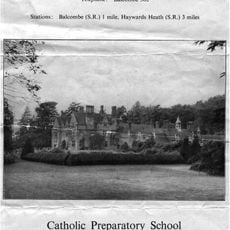
Balcombe Place
4.8 km
Holy Trinity Church, Cuckfield
4.6 km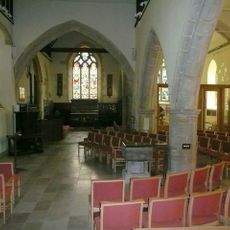
St Mary's Church, Slaugham
2.1 km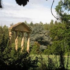
Tyes Place
825 m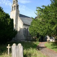
Church of St Mark
55 m
Gatehouse To Cuckfield Park Including Iron Railings
4.3 km
The Parish Church of St Mary
3.9 km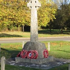
Staplefield War Memorial
240 m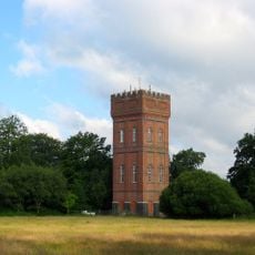
The Water Tower
2.8 km
Nymans
1.6 km
Borde Hill Place
4.7 km
Pilstye Farmhouse
2.9 km
The South West Lodge Of Balcombe Place With The Gate Piers And Flanking Walls Adjoining
4.4 km
Westup Farmhouse
2.9 km
Cochon D'Or
4.5 km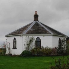
The Round House
4.4 km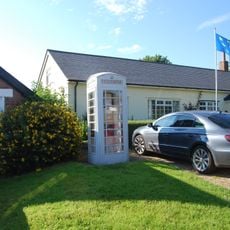
White Telephone Kiosk On The Green
2.1 km
Kemp's House
3.3 km
Stone Hall
4.5 km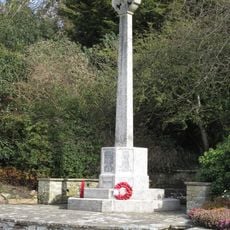
Bolney War Memorial
5.2 kmReviews
Visited this place? Tap the stars to rate it and share your experience / photos with the community! Try now! You can cancel it anytime.
Discover hidden gems everywhere you go!
From secret cafés to breathtaking viewpoints, skip the crowded tourist spots and find places that match your style. Our app makes it easy with voice search, smart filtering, route optimization, and insider tips from travelers worldwide. Download now for the complete mobile experience.

A unique approach to discovering new places❞
— Le Figaro
All the places worth exploring❞
— France Info
A tailor-made excursion in just a few clicks❞
— 20 Minutes