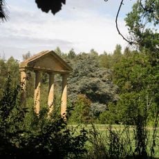
Yew Tree, architectural structure in Ansty and Staplefield, Mid Sussex, West Sussex, UK
Location: Ansty and Staplefield
GPS coordinates: 51.03868,-0.17133
Latest update: November 17, 2025 13:06
Tyes Place
317 m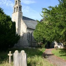
Church of St Mark
525 m
The Jolly Tanners Public House
939 m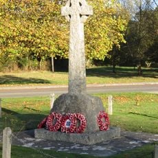
Staplefield War Memorial
725 m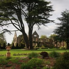
Nymans
2.1 km
The White House
1.5 km
Spicer's Farmhouse
1.7 km
Stanbridges Farmhouse
1.8 km
Mizbrooks Farmhouse
1.9 km
Cleaver's Farmhouse
1.7 km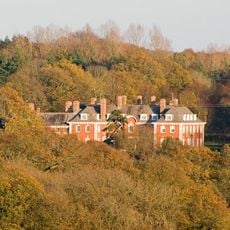
Ditton Place Including Attached Terrace Wall And Sandstone Wall To West
1.6 km
Bigges Farmhouse
1.3 km
Little Ashfold
844 m
North Hall Cottage
1.7 km
Combers
1.8 km
Stable Block At Ditton Place
1.6 km
Staplefield School
514 m
Brightwell Farmhouse
1.4 km
Chiffley Grange
420 m
Barn To The North West Of North Hall
1.6 km
Little Tyes
21 m
Northlands Farmhouse
1.5 km
Barn To The North West Of Bigges Farm
1.2 km
North Hall
1.6 km
Dillion's Farmhouse
1.3 km
Barn To The North East Of Northlands Farmhouse
1.5 km
Barnhall
615 m
Scenic viewpoint
2 kmReviews
Visited this place? Tap the stars to rate it and share your experience / photos with the community! Try now! You can cancel it anytime.
Discover hidden gems everywhere you go!
From secret cafés to breathtaking viewpoints, skip the crowded tourist spots and find places that match your style. Our app makes it easy with voice search, smart filtering, route optimization, and insider tips from travelers worldwide. Download now for the complete mobile experience.

A unique approach to discovering new places❞
— Le Figaro
All the places worth exploring❞
— France Info
A tailor-made excursion in just a few clicks❞
— 20 Minutes