
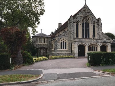
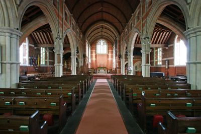
Church of St Mark, church building in Croydon, Greater London, UK
Location: London Borough of Croydon
GPS coordinates: 51.34528,-0.13042
Latest update: March 2, 2025 23:04
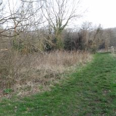
Foxley Wood
2.2 km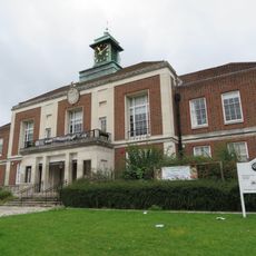
Wallington Town Hall
2 km
Purley Council Offices Including Attached Railings
1.6 km
Church of St Augustine
2.3 km
Church of St Michael and All Angels
1.6 km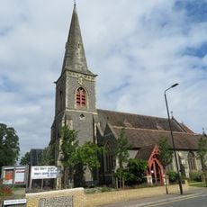
Church of the Holy Trinity
2.6 km
Purley Library
1.1 km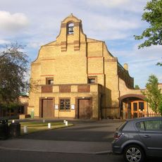
Church of the Good Shepherd
2.8 km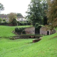
Grotto In Carshalton Park
2.7 km
Church of St George
2.1 km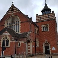
Purley United Reformed Church, Formerly Purley Congregational Church
1.2 km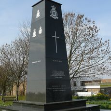
Croydon Aerodrome Battle of Britain Memorial
951 m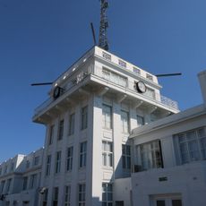
Airport House
1.5 km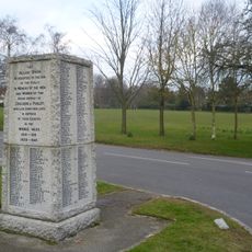
Woodcote War Memorial
1.4 km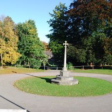
Whitgift School War Memorial
2.6 km
Purley Bury
2.1 km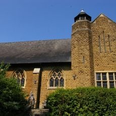
St. James' Riddlesdown
2.3 km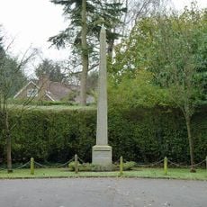
Promenade de Verdun War Memorial
1 km
Number 19 Sewer Ventilation Column in Rotherfield Road (east side) at junction with Talbot Road
2.8 km
3-9, Wrights Row
2.9 km
Number 10 Sewer Ventilation Column at the junction of Grovesnor Road and Glebe Road
2.8 km
120, Woodcote Road
1.9 km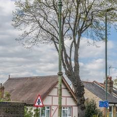
Number 3 Sewer Ventilation Column on the railway bridge on Boundary Road
2.3 km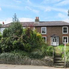
36, Manor Road
2.7 km
32, Manor Road
2.8 km
38, 40 And 40A, Manor Road
2.7 km
Milestone, Grounds of Purley Memorial Hospital
1.2 km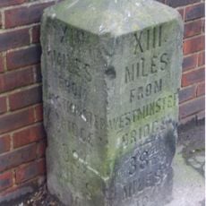
Milestone, Brighton Road, Coulsdon near Milestone Drive
1.9 kmReviews
Visited this place? Tap the stars to rate it and share your experience / photos with the community! Try now! You can cancel it anytime.
Discover hidden gems everywhere you go!
From secret cafés to breathtaking viewpoints, skip the crowded tourist spots and find places that match your style. Our app makes it easy with voice search, smart filtering, route optimization, and insider tips from travelers worldwide. Download now for the complete mobile experience.

A unique approach to discovering new places❞
— Le Figaro
All the places worth exploring❞
— France Info
A tailor-made excursion in just a few clicks❞
— 20 Minutes