
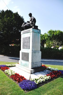
Benenden War Memorial, war memorial in Benenden, Tunbridge Wells, Kent, UK
Location: Benenden
Inception: 1920
Creator: Albert Toft
GPS coordinates: 51.06655,0.58205
Latest update: March 5, 2025 18:51
Hole Park
2.2 km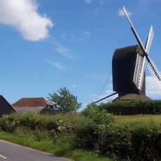
Rolvenden Windmill
3.1 km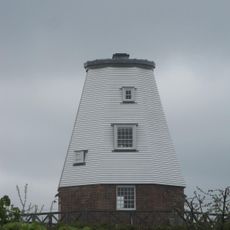
Beacon Mill
1.2 km
Parsonage Wood
1.3 km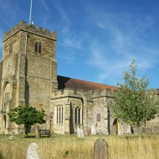
Church of St George
256 m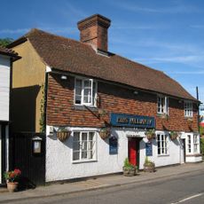
King William Iv Public House
204 m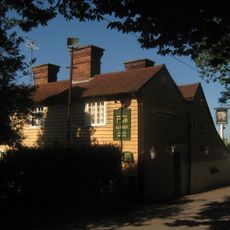
The Woodcock Public House
1.6 km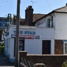
The Star Public House
3.7 km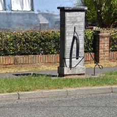
Village Pump Opposite No 29
3.7 km
2, 4 And 6, Hastings Road
3.8 km
Maplesden
2.5 km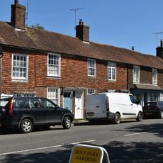
45-55, High Street
3.7 km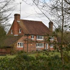
Whistler's
3.5 km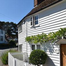
2 And 4, High Street
3.8 km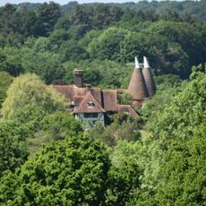
Rawlinson Farmhouse
2.9 km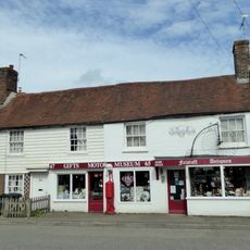
63-73, High Street
3.7 km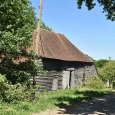
Barn And Oasthouse At Mount Hall Farm
2.1 km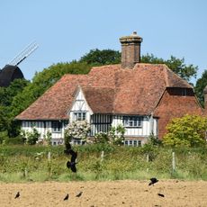
Saxbys
3.3 km
Mount Hall Farmhouse
2.1 km
Eaton House
2 km
Attwaters And Wall Attached
3.6 km
59 And 61, High Street
3.7 km
Kingpost
3.6 km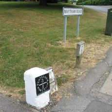
Milestone, Maytham Road, N of church
3.8 km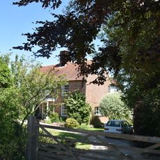
Mount Le Hoe
1.9 km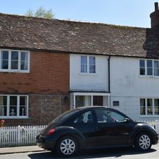
2 And 4, Regent Street
3.6 km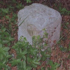
Milestone, Hastings Road, N of jct with Wassall Lane
3.8 km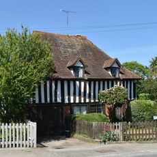
The Forge
3.6 kmVisited this place? Tap the stars to rate it and share your experience / photos with the community! Try now! You can cancel it anytime.
Discover hidden gems everywhere you go!
From secret cafés to breathtaking viewpoints, skip the crowded tourist spots and find places that match your style. Our app makes it easy with voice search, smart filtering, route optimization, and insider tips from travelers worldwide. Download now for the complete mobile experience.

A unique approach to discovering new places❞
— Le Figaro
All the places worth exploring❞
— France Info
A tailor-made excursion in just a few clicks❞
— 20 Minutes