
Two Waymarking And Boundary Stones 12 Metres And 52 Metres West Of Esso Oil Pipe Line
Two Waymarking And Boundary Stones 12 Metres And 52 Metres West Of Esso Oil Pipe Line, architectural structure in Ogbourne St. Andrew, Wiltshire, UK
Location: Ogbourne St Andrew
Inception: 19 century
GPS coordinates: 51.48601,-1.79457
Latest update: August 8, 2025 05:24
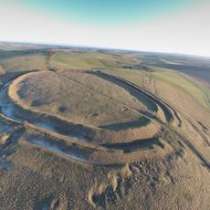
Barbury Castle
568 m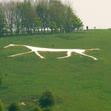
Hackpen White Horse
2.2 km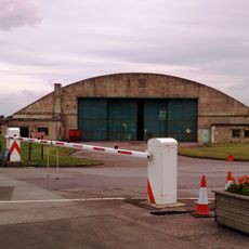
National Collections Centre
3.2 km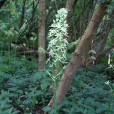
Clout's Wood
3.3 km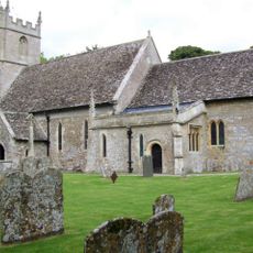
Church of St Peter Ad Vincula
3.8 km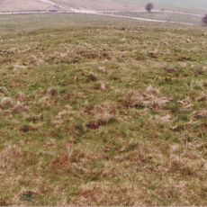
Saucer barrow: part of a barrow cemetery west of Barbury Castle
319 m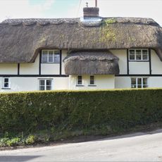
Willow Cottage
3.9 km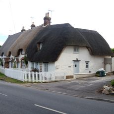
The Cottage
3.8 km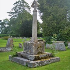
Churchyard Cross And Lloyd Monument In Churchyard, 6 Metres South Of South Chapel, Church Of St Peter
3.8 km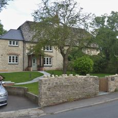
142 And 143
3.9 km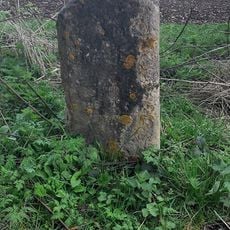
Milestone At Four Mile Clump
2.8 km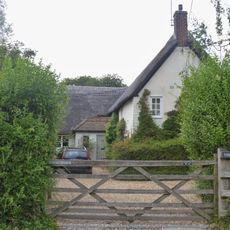
Yew Trees
3.7 km
2 And 3, Green's Lane
3.9 km
Marlborough House
3.8 km
Broad Hinton House
3.7 km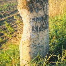
Milestone
2.9 km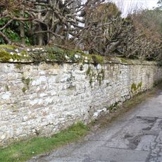
Wall To Churchyard And Street, East And South Of Wroughton House
3.9 km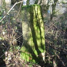
Milstone At Upper Herdswick Farm
1.5 km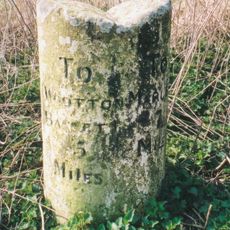
Milestone 300 Metres East Of A4361 Junction
3.1 km
2 Broad Hinton
3.8 km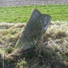
Milestone West Of Dean Bottom
2.8 km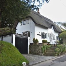
61, Prior's Hill
3.8 km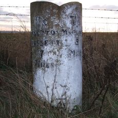
Milestone West Of Mans Head
2.3 km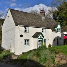
73, Prior's Hill
3.7 km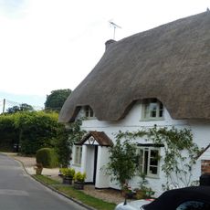
Well View
3.8 km
Milestone On Hackpen Road To Marlborough
2 km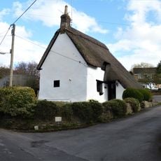
11, Green's Lane
3.9 km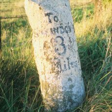
Milestone
3.6 kmReviews
Visited this place? Tap the stars to rate it and share your experience / photos with the community! Try now! You can cancel it anytime.
Discover hidden gems everywhere you go!
From secret cafés to breathtaking viewpoints, skip the crowded tourist spots and find places that match your style. Our app makes it easy with voice search, smart filtering, route optimization, and insider tips from travelers worldwide. Download now for the complete mobile experience.

A unique approach to discovering new places❞
— Le Figaro
All the places worth exploring❞
— France Info
A tailor-made excursion in just a few clicks❞
— 20 Minutes