Chest opened
+${chestReward.xp} XP
Explorer
NOUVEAU ×${chestReward.collectible.quantity}
tapez pour fermer

See the monuments around you in AR Open chests in the app

Around Us is built for your phone — point your camera at the streets and discover the monuments and places around you in augmented reality. Around Us is built for your phone — chests unlock when you walk, explore and capture nearby places.

Enable Location

We need your location to show you interesting places around you

Discover nearby places

Find interesting locations and hidden gems around you

Precise directions

Get accurate directions and distances to places

Your location is never shared with other users. It's only used when you tap the location button.

Log in to your account

Start exploring — it's free

Trusted by 83,994 travelers worldwide

Continue with Google
Continue with Apple
or

We will send you a code to connect

By continuing, you accept our Terms and Conditions and our Privacy Policy

Check your inbox

We've sent a pincode in your inbox. Please enter the code below.

Discussion Reviews Photo
18.7k Popularity

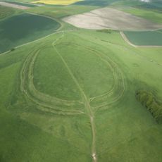
Barbury Castle, Iron Age contour fort in Wiltshire, England.

Barbury Castle is a prehistoric fortification on Barbury Hill in Wiltshire, enclosed by two concentric ditches and earthen banks. The site sits on high ground offering wide views over the surrounding countryside toward distant hills in the west.

The fort was built around 500 BC during the Iron Age and later used by Roman settlers. In 556 AD, a battle took place here that led to the region joining the Saxon kingdom of Wessex.

The archaeological site features evidence of 40 ancient hut circles, revealing the settlement patterns of Iron Age communities in southern Britain.

A car park and toilet facilities are available nearby. Access is limited to the hours between sunrise and sunset during winter months.

During World War II, American troops widened the original entrances to allow military vehicles through. These modifications remain visible today in the breaks in the Iron Age banks.

The community of curious travelers

AroundUs brings together thousands of curated places, local tips, and hidden gems, enriched daily by 60,000 contributors worldwide.
Start exploring
Location
Operator
Swindon Borough Council
Opening Hours
24/7
GPS coordinates
51.48526,-1.78653
Latest update
August 23, 2026 14:24
Around this place
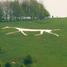
Hackpen White Horse
United Kingdom

Hackpen White Horse

2.6 km
National Collections Centre
United Kingdom

National Collections Centre

3.5 km
Clout's Wood
United Kingdom

Clout's Wood

3.5 km
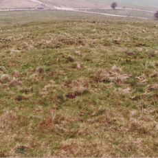
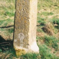
Saucer barrow: part of a barrow cemetery west of Barbury Castle
United Kingdom

Saucer barrow: part of a barrow cemetery west of Barbury Castle

247 m
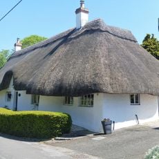
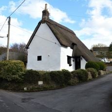
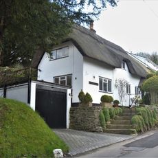
Laburnham Cottage
United Kingdom

Laburnham Cottage

4 km
United Kingdom

Boundary Walls To Front And Garden Pavilion At Draycot Farmhouse

3.5 km
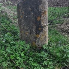
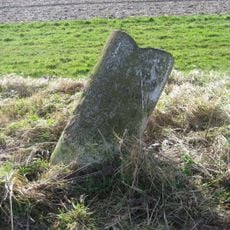
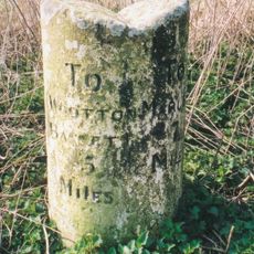
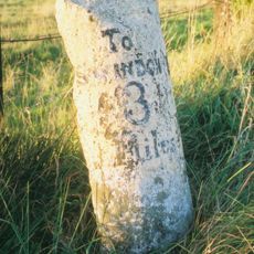
Milestone At Four Mile Clump
United Kingdom

Milestone At Four Mile Clump

2.4 km
26 And 27, Brimble Hill
United Kingdom

26 And 27, Brimble Hill

4 km
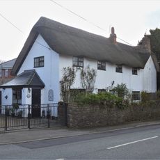
2 And 3, Green's Lane
United Kingdom

2 And 3, Green's Lane

4 km
Old Mill
United Kingdom

Old Mill

4 km
The Knole
United Kingdom

The Knole

4 km
11, Green's Lane
United Kingdom

11, Green's Lane

3.9 km
Milestone 300 Metres East Of A4361 Junction
United Kingdom

Milestone 300 Metres East Of A4361 Junction

3.7 km
Milestone
United Kingdom

Milestone

3.4 km
Milestone West Of Dean Bottom
United Kingdom

Milestone West Of Dean Bottom

2.6 km
United Kingdom

Walls Enclosing Small Garden To South Of Overtown House

3.5 km
Milestone
United Kingdom

Milestone

3.8 km
Milstone At Upper Herdswick Farm
United Kingdom

Milstone At Upper Herdswick Farm

945 m
73, Prior's Hill
United Kingdom

73, Prior's Hill

3.8 km
Barbury Castle Farm deserted Medieval village
United Kingdom

Barbury Castle Farm deserted Medieval village

521 m
61, Prior's Hill
United Kingdom

61, Prior's Hill

3.8 km
Milestone On Ogbourne Maisey Down, North Of The Old Eagle
United Kingdom

Milestone On Ogbourne Maisey Down, North Of The Old Eagle

3.8 km
Milestone In Rockley Plantation
United Kingdom

Milestone In Rockley Plantation

3.8 km
Milestone West Of Mans Head
United Kingdom

Milestone West Of Mans Head

2.4 km
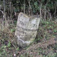
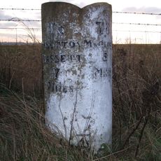
Milestone On Hackpen Road To Marlborough
United Kingdom

Milestone On Hackpen Road To Marlborough

1.6 km
Former Toll House To West Of Burderop Farm
United Kingdom

Former Toll House To West Of Burderop Farm

3.9 km
United Kingdom

Garden Wall At Uffcott Farm

2.7 km
United Kingdom

Two Waymarking And Boundary Stones 12 Metres And 52 Metres West Of Esso Oil Pipe Line

564 m
Show the full map
Reviews
Share your experience

No review yet

Discussions
Start a discussion...

No discussion yet

« Barbury Castle - Iron Age contour fort in Wiltshire, England » is provided by Around Us (aroundus.com). Images and texts are derived from Wikimedia project under a Creative Commons license. You are allowed to copy, distribute, and modify copies of this page, under the conditions set by the license, as long as this note is clearly visible.

Discover hidden gems everywhere you go!

From secret cafés to breathtaking viewpoints, skip the crowded tourist spots and find places that match your style. Our app makes it easy with voice search, smart filtering, route optimization, and insider tips from travelers worldwide. Download now for the complete mobile experience.

Around Us App Screenshot

A unique approach to discovering new places

Le Figaro

All the places worth exploring

France Info

A tailor-made excursion in just a few clicks

20 Minutes

Around Us
Travel Guide & Maps
Download

Send to your phone

QR Code
1

Open the camera app on your mobile.

2

Point at the QR code with your camera. A notification will appear.

3

Tap the notification to open the link.