Garden Walls At Cranham Hall, wall in Havering, Greater London, UK
Location: London Borough of Havering
GPS coordinates: 51.55110,0.26649
Latest update: November 24, 2025 09:33
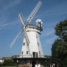
Upminster Windmill
1.7 km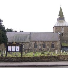
Church of St Laurence, Upminster
1.4 km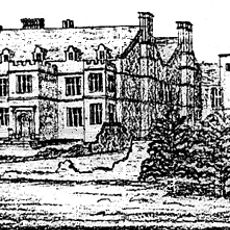
Cranham Hall
89 m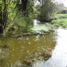
Cranham Marsh
683 m
Upminster Hall
1.8 km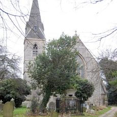
Church of All Saints, Cranham
134 m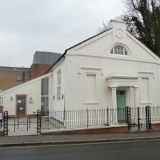
Upminster Old Chapel
1.7 km
Bridge In Parklands Park
1.6 km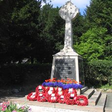
Upminster War Memorial
1.3 km
The Old Cottage
1.4 km
Garden Walls Entrance Gate And Brick Piers To Former Stubbers House
1.4 km
1-8, Harwood Hall Lane
1.5 km
Harwwood Hall
1.7 km
265 And 267, St Marys Lane
999 m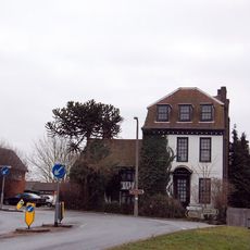
High House Farmhouse
1.4 km
201, Corbets Tey Road
1.4 km
Tadlows
1.4 km
Sullen's Farmhouse
1.5 km
Great Sunnings
1.3 km
The Old Anchor
1.4 km
Milestone, Corbet's Tey Road
1.4 km
The Rectory
1.4 km
Barn And Stable Block To The North Of Broadfields Farmhouse
1.2 km
K6 Telephone Kiosk Outside The Clock House
1 km
The Clock House
1 km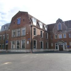
Sacred Heart of Mary Girls' School
1.7 km
Cranham Golf Course
1.2 km
Thames Chase Visitor Centre
1.1 kmReviews
Visited this place? Tap the stars to rate it and share your experience / photos with the community! Try now! You can cancel it anytime.
Discover hidden gems everywhere you go!
From secret cafés to breathtaking viewpoints, skip the crowded tourist spots and find places that match your style. Our app makes it easy with voice search, smart filtering, route optimization, and insider tips from travelers worldwide. Download now for the complete mobile experience.

A unique approach to discovering new places❞
— Le Figaro
All the places worth exploring❞
— France Info
A tailor-made excursion in just a few clicks❞
— 20 Minutes